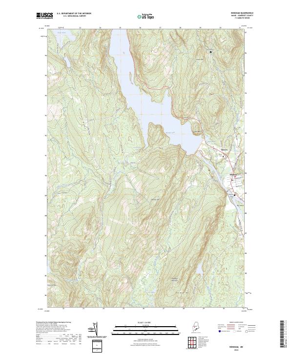
2024 Map of Bingham
USGS Topo · Published 2024About this map
The Kennebec River corridor defines this portion of Somerset County, where the valley floor transitions into the high ridges of Pleasant Ridge and Fletcher Mtn. The river’s flow is dominated by Wyman Lake, a major impoundment that shapes the local geography north of the settlements at Moscow and Bingham. These riverfront communities are detailed alongside their historical resting places, including Bingham Village Cem and Union Cem, providing a clear view of the area's civil and genealogical foundations.
Find a feature on this map
56 named features on this map. Tap any name to fly to it.
Don’t see what you’re looking for? This feature index may not catch every label — zoom into the map to look around manually.
Map Details
Editions of this 2024 Bingham Map
This is the sole edition of this map. No revisions or reprints were ever made.
Other maps of this area

1903 · Bingham
USGS Topo · 1:62,500

1904 · Anson
USGS Topo · 1:62,500

1905 · Bingham
USGS Topo · 1:62,500

1928 · Dead River
USGS Topo · 1:62,500

1930 · Kingfield
USGS Topo · 1:48,000

1931 · Dead River
USGS Topo · 1:48,000

1932 · Kingfield
USGS Topo · 1:62,500

1944 · Dead River
USGS Topo · 1:62,500

1948 · Bangor
USGS Topo · 1:250,000

1949 · Jackman
USGS Topo · 1:250,000