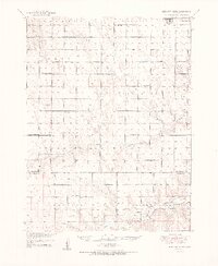
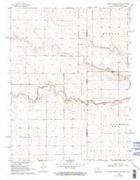
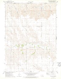
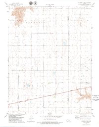
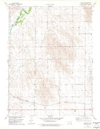
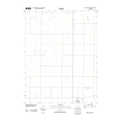
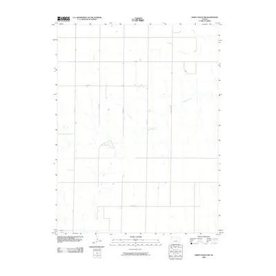
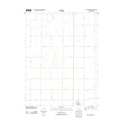
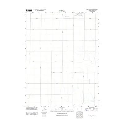
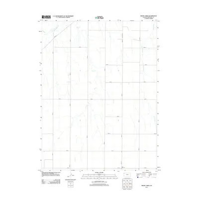
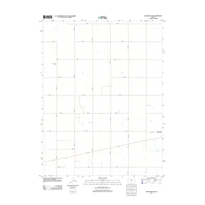
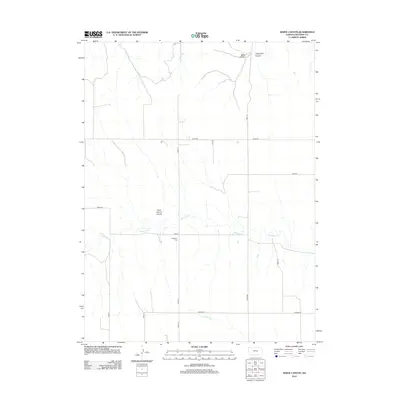
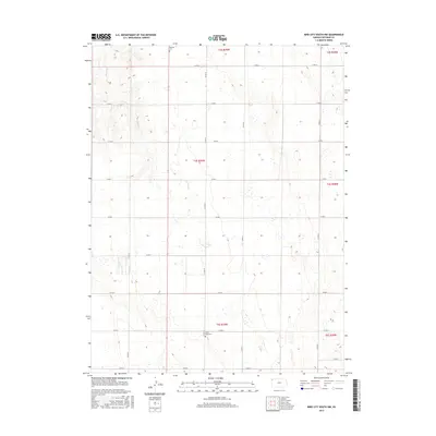
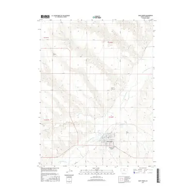
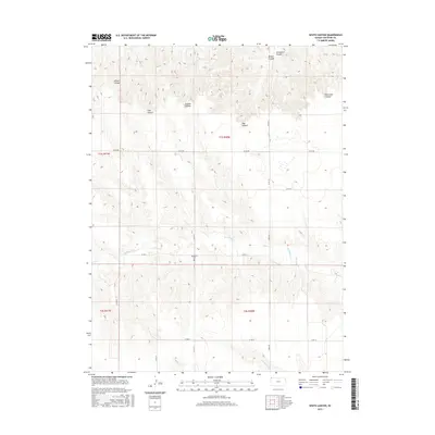
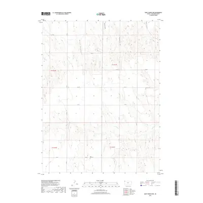
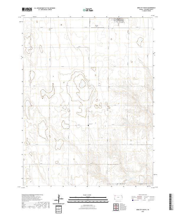
1951 Map of Bird City South
USGS Topo · Published 1951About this map
The agrarian landscape of northwest Kansas is captured here in the early 1950s, centered around the township of Bird City. The map reveals a highly organized rural infrastructure, where nearly every township section is served by a local landmark, typically a country school or a small burial ground. From the northern reaches near Cheyenne Valley Sch to the southern boundaries of Voltaire and Shermanville, the grid of section lines is punctuated by essential community nodes like Glendale Sch and Prairie View Sch. Drainage for this high-plains terrain is provided by the meandering courses of Little Beaver Creek and Sand Creek, which cut across the geometric regularity of the survey lines. This map is particularly valuable for tracing early mid-century property and family locations, as evidenced by several named cemeteries including Wheeler Cem and Sunnyside Cem.
Find a feature on this map
26 named features on this map. Tap any name to fly to it.
Don’t see what you’re looking for? This feature index may not catch every label — zoom into the map to look around manually.
Map Details
Editions of this 1951 Bird City South Map
2 editions found
Historical Maps of Bird City Through Time
94 maps found
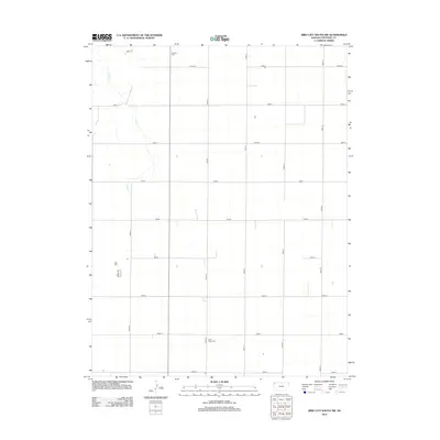
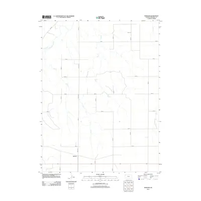
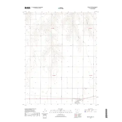
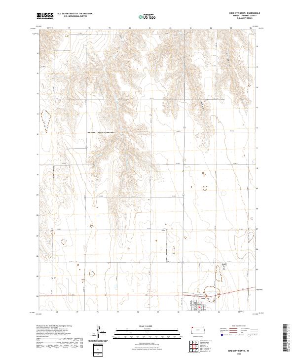
1951 Bird City North
Cheyenne County, KS
1951 Bird City South
Cheyenne County, KS
1952 St. Francis 3
Cheyenne County, KS
1969 Colony Township NW
Cheyenne County, KS
1976 Bird City North
Cheyenne County, KS
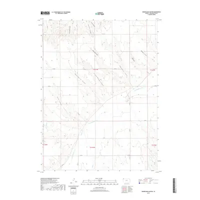
1976 Heinzelman Canyon
Cheyenne County, KS
1976 Henkle Canyon
Cheyenne County, KS
1976 White Canyon
Cheyenne County, KS
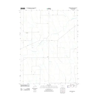
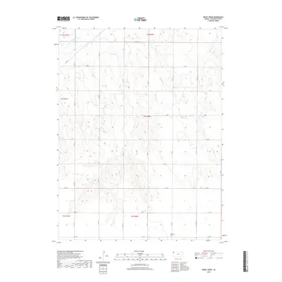
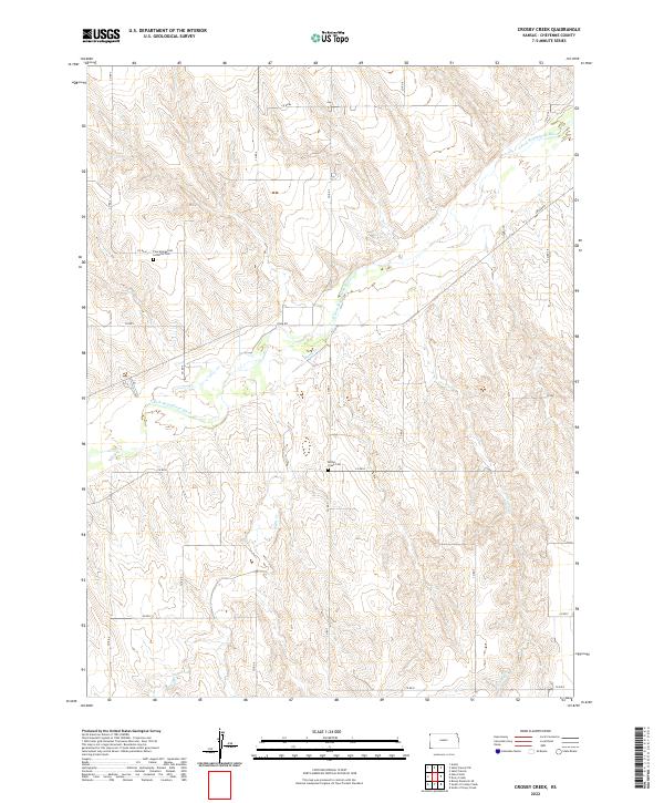
1978 Crosby Creek
Cheyenne County, KS
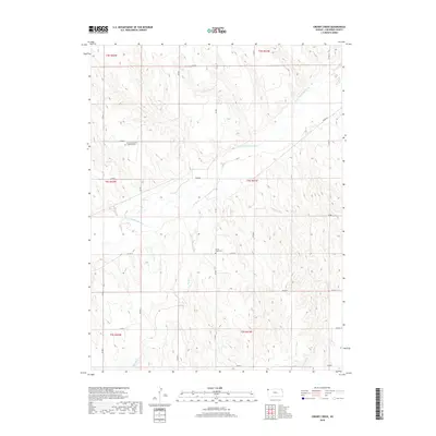
1978 Drury Creek
Cheyenne County, KS
1978 Mc Donald NW
Cheyenne County, KS
1978 Mc Donald SW
Cheyenne County, KS
1978 St Francis
Cheyenne County, KS
1978 St Francis NW
Cheyenne County, KS
1978 St Francis SW
Cheyenne County, KS
1978 Wheeler
Cheyenne County, KS
1981 Bird City South
Cheyenne County, KS
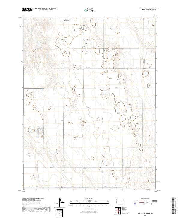
1981 Bird City South NW
Cheyenne County, KS
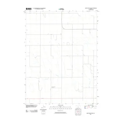
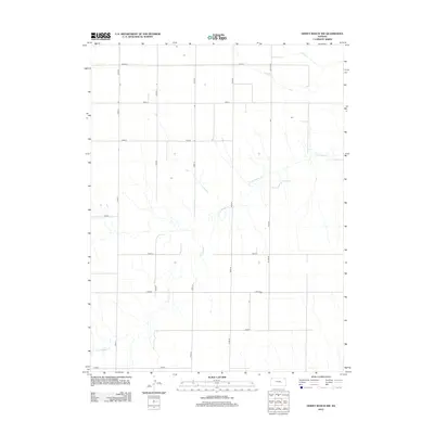
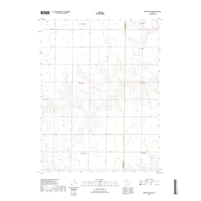
1981 Dewey Ranch NW
Cheyenne County, KS
2009 Bird City North
Cheyenne County, KS
2009 Bird City South
Cheyenne County, KS
2009 Bird City South NW
Cheyenne County, KS
2009 Crosby Creek
Cheyenne County, KS
2009 Dewey Ranch NW
Cheyenne County, KS
2009 Drury Creek
Cheyenne County, KS
2009 Heinzelman Canyon
Cheyenne County, KS
2009 Henkle Canyon
Cheyenne County, KS
2009 McDonald NW
Cheyenne County, KS
2009 McDonald SW
Cheyenne County, KS
2009 Saint Francis
Cheyenne County, KS
2009 Saint Francis NW
Cheyenne County, KS
2009 Saint Francis SW
Cheyenne County, KS
2009 Wheeler
Cheyenne County, KS
2009 White Canyon
Cheyenne County, KS
2012 Bird City North
Cheyenne County, KS
2012 Bird City South
Cheyenne County, KS
2012 Bird City South NW
Cheyenne County, KS
2012 Crosby Creek
Cheyenne County, KS
2012 Dewey Ranch NW
Cheyenne County, KS
2012 Drury Creek
Cheyenne County, KS
2012 Heinzelman Canyon
Cheyenne County, KS
2012 Henkle Canyon
Cheyenne County, KS
2012 McDonald NW
Cheyenne County, KS
2012 McDonald SW
Cheyenne County, KS
2012 Saint Francis
Cheyenne County, KS
2012 Saint Francis NW
Cheyenne County, KS
2012 Saint Francis SW
Cheyenne County, KS
2012 Wheeler
Cheyenne County, KS
2012 White Canyon
Cheyenne County, KS
2015 Bird City North
Cheyenne County, KS
2015 Bird City South
Cheyenne County, KS
2015 Bird City South NW
Cheyenne County, KS
2015 Crosby Creek
Cheyenne County, KS
2015 Dewey Ranch NW
Cheyenne County, KS
2015 Drury Creek
Cheyenne County, KS
2015 Heinzelman Canyon
Cheyenne County, KS
2015 Henkle Canyon
Cheyenne County, KS
2015 McDonald NW
Cheyenne County, KS
2015 McDonald SW
Cheyenne County, KS
2015 Saint Francis
Cheyenne County, KS
2015 Saint Francis NW
Cheyenne County, KS
2015 Saint Francis SW
Cheyenne County, KS
2015 Wheeler
Cheyenne County, KS
2015 White Canyon
Cheyenne County, KS
2018 Bird City North
Cheyenne County, KS
2018 Bird City South
Cheyenne County, KS
2018 Bird City South NW
Cheyenne County, KS
2018 Crosby Creek
Cheyenne County, KS
2018 Dewey Ranch NW
Cheyenne County, KS
2018 Drury Creek
Cheyenne County, KS
2018 Heinzelman Canyon
Cheyenne County, KS
2018 Henkle Canyon
Cheyenne County, KS
2018 McDonald NW
Cheyenne County, KS
2018 McDonald SW
Cheyenne County, KS
2018 Saint Francis
Cheyenne County, KS
2018 Saint Francis NW
Cheyenne County, KS
2018 Saint Francis SW
Cheyenne County, KS
2018 Wheeler
Cheyenne County, KS
2018 White Canyon
Cheyenne County, KS
2022 Bird City North
Cheyenne County, KS
2022 Bird City South
Cheyenne County, KS
2022 Bird City South NW
Cheyenne County, KS
2022 Crosby Creek
Cheyenne County, KS
2022 Dewey Ranch NW
Cheyenne County, KS
2022 Drury Creek
Cheyenne County, KS
2022 Heinzelman Canyon
Cheyenne County, KS
2022 Henkle Canyon
Cheyenne County, KS
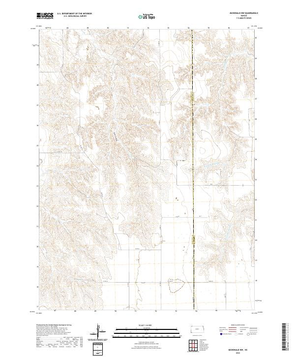
2022 McDonald NW
Cheyenne County, KS
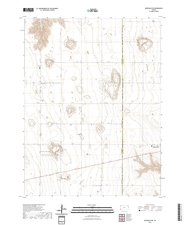
2022 McDonald SW
Cheyenne County, KS
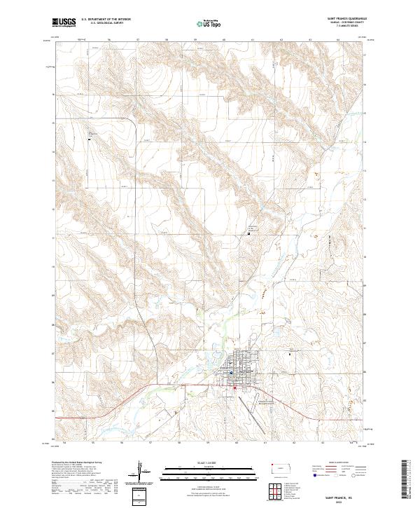
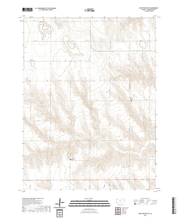
2022 Saint Francis
Cheyenne County, KS
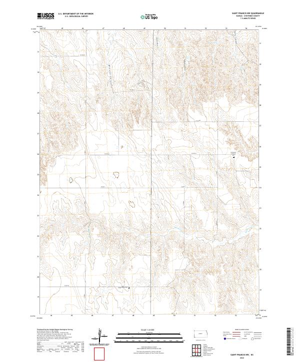
2022 Saint Francis NW
Cheyenne County, KS
2022 Saint Francis SW
Cheyenne County, KS
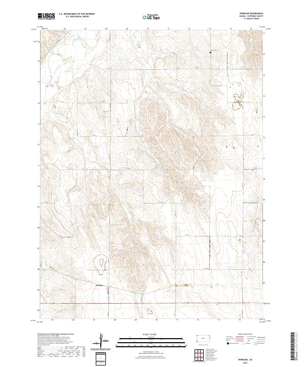
2022 Wheeler
Cheyenne County, KS
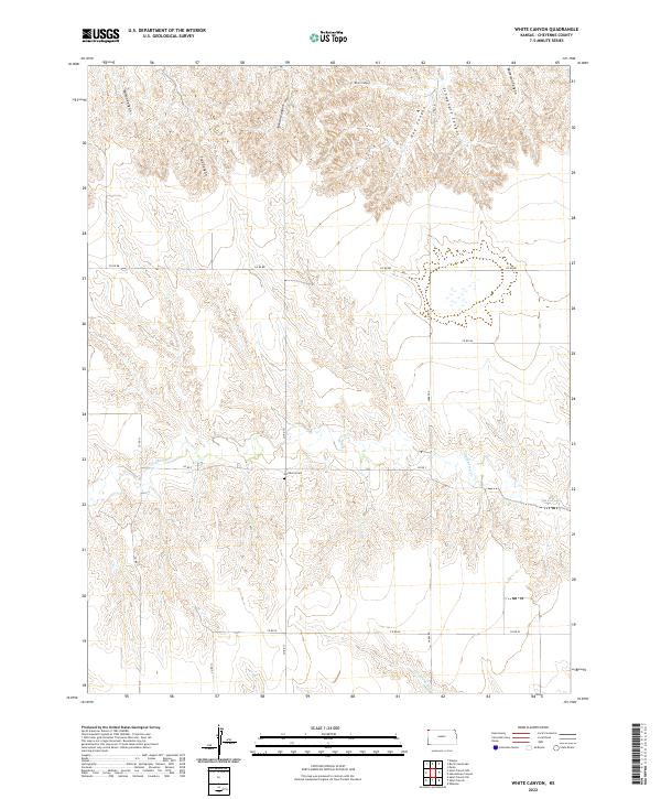
2022 White Canyon
Cheyenne County, KS