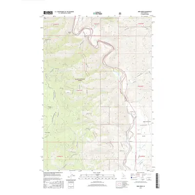
2017 Map of Bird Creek
USGS Topo · Published 2017About this map
The Salmon National Forest dominates this section of Lemhi County, where the steep topography of the Salmon River Mountains is carved by a network of drainage gulches. The Salmon River cuts through the canyon, its course shadowed by the historic Lewis and Clark Trl, reflecting the deep temporal layers of travel through this corridor. Irrigation infrastructure is visible on the lower elevations of the Big Flat, where the McNutt Ditch and Big Flat Ditch move water across the landscape toward agricultural holdings near the riverbank.
Find a feature on this map
57 named features on this map. Tap any name to fly to it.
Don’t see what you’re looking for? This feature index may not catch every label — zoom into the map to look around manually.
Map Details
Editions of this 2017 Bird Creek Map
This is the sole edition of this map. No revisions or reprints were ever made.
Other maps of this area
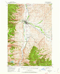
1950 · Salmon
USGS Topo · 1:62,500
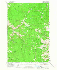
1950 · Leesburg
USGS Topo · 1:62,500
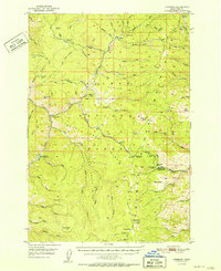
1951 · Leesburg
USGS Topo · 1:62,500
1951 · Salmon
USGS Topo · 1:62,500

1955 · Dillon
USGS Topo · 1:250,000

1956 · Elk City
USGS Topo · 1:250,000

1957 · Dillon
USGS Topo · 1:250,000

1958 · Dillon
USGS Topo · 1:250,000

1960 · Elk City
USGS Topo · 1:250,000
1960 · Ulysses Mtn
USGS Topo · 1:62,500