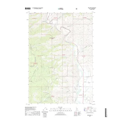
2020 Map of Bird Creek
USGS Topo · Published 2020About this map
The Salmon National Forest dominates this landscape in Lemhi County, defined by the winding course of the Salmon River and its numerous mountain tributaries. The terrain is marked by deep canyons and prominent rises such as Jackass Ridge, with the historical path of the Lewis And Clark Trl following the river and ridgelines. Significant local water management is evident in the southeastern corner through the McNutt Ditch and Big Flat Ditch, which service the level land of Big Flat.
Find a feature on this map
58 named features on this map. Tap any name to fly to it.
Don’t see what you’re looking for? This feature index may not catch every label — zoom into the map to look around manually.
Map Details
Editions of this 2020 Bird Creek Map
This is the sole edition of this map. No revisions or reprints were ever made.
Other maps of this area
1950 · Salmon
USGS Topo · 1:62,500
1950 · Leesburg
USGS Topo · 1:62,500
1951 · Leesburg
USGS Topo · 1:62,500
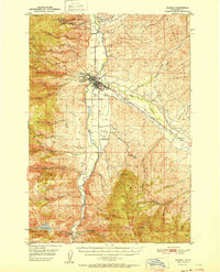
1951 · Salmon
USGS Topo · 1:62,500

1955 · Dillon
USGS Topo · 1:250,000

1956 · Elk City
USGS Topo · 1:250,000

1957 · Dillon
USGS Topo · 1:250,000

1958 · Dillon
USGS Topo · 1:250,000

1960 · Elk City
USGS Topo · 1:250,000
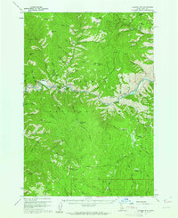
1960 · Ulysses Mtn
USGS Topo · 1:62,500