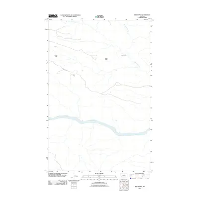
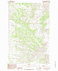
2011 Map of Bird Rapids
USGS Topo · Published 2011About this map
The Missouri River cuts a wide path through this portion of Fergus County, defining a landscape of deep coulees and prominent high points. Just south of a sharp bend in the river, the Bird Rapids create a distinct point of navigation and topography along the water. The surrounding terrain is characterized by long, named elevations like Pendell Ridge and Lone Tree Ridge, which provide a clear sense of the area's natural drainage and ridgeline patterns.
Find a feature on this map
10 named features on this map. Tap any name to fly to it.
Don’t see what you’re looking for? This feature index may not catch every label — zoom into the map to look around manually.
Map Details
Editions of this 2011 Bird Rapids Map
This is the sole edition of this map. No revisions or reprints were ever made.
Other maps of this area
1954 · Taffy Ridge
USGS Topo · 1:24,000
1954 · Bird Rapids
USGS Topo · 1:24,000
1954 · Leroy
USGS Topo · 1:24,000
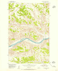
1954 · Sturgeon Island
USGS Topo · 1:24,000

1954 · Lewistown
USGS Topo · 1:250,000

1959 · Lewistown
USGS Topo · 1:250,000
1985 · Nolan Reservoir
USGS Topo · 1:24,000
1985 · Woodhawk Hill
USGS Topo · 1:24,000
1985 · Sandpiper Reservoir
USGS Topo · 1:24,000
1985 · Butch Reservoir
USGS Topo · 1:24,000