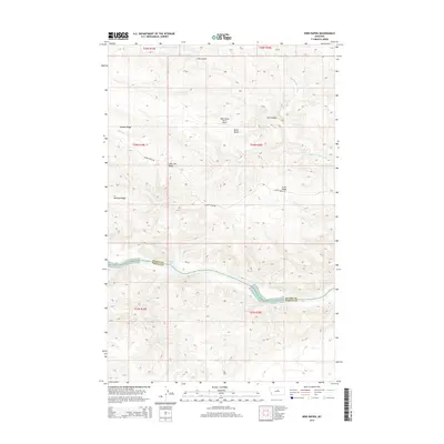
2014 Map of Bird Rapids
USGS Topo · Published 2014About this map
The Missouri River cuts through the southern portion of this landscape, marking the natural boundary between Blaine Co and Fergus Co. This river segment is defined by significant navigational landmarks including the Bird Rapids and Magpie Rapids, which dictate the movement of water through the complex breaks of central Montana. The terrain is characterized by a series of prominent high points and divides, most notably Black Butte and its adjacent Black Butte North Airport.
Find a feature on this map
21 named features on this map. Tap any name to fly to it.
Don’t see what you’re looking for? This feature index may not catch every label — zoom into the map to look around manually.
Map Details
Editions of this 2014 Bird Rapids Map
This is the sole edition of this map. No revisions or reprints were ever made.
Other maps of this area
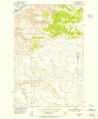
1954 · Taffy Ridge
USGS Topo · 1:24,000
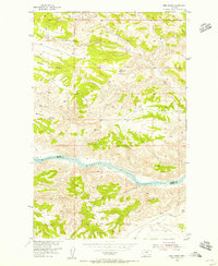
1954 · Bird Rapids
USGS Topo · 1:24,000
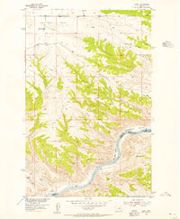
1954 · Leroy
USGS Topo · 1:24,000
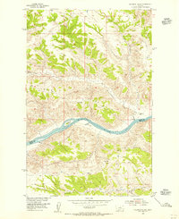
1954 · Sturgeon Island
USGS Topo · 1:24,000

1954 · Lewistown
USGS Topo · 1:250,000

1959 · Lewistown
USGS Topo · 1:250,000
1985 · Nolan Reservoir
USGS Topo · 1:24,000
1985 · Woodhawk Hill
USGS Topo · 1:24,000
1985 · Sandpiper Reservoir
USGS Topo · 1:24,000
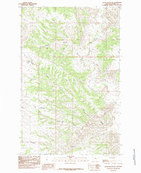
1985 · Butch Reservoir
USGS Topo · 1:24,000