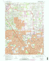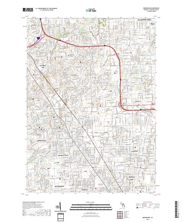
2023 Map of Birmingham
USGS Topo · Published 2023About this map
Birmingham and its neighboring northern Detroit suburbs are shown here as a dense network of residential streets and municipal boundaries during the early 2020s. The landscape is defined by the headwaters of the River Rouge and its various drains, such as Sturgis Drain and Lane Drain, which thread through affluent residential developments and golf courses. Notable for genealogists is the high concentration of columbariums and memorial gardens, including the Beautiful Savior Lutheran Church Columbarium and Christ Church Cranbrook Columbarium, reflecting modern shifts in interment practices within established congregations. Major commercial and transit corridors are anchored by W Big Beaver Rd and the Oakland/Troy Airport. The transition from the established centers of Royal Oak and Berkley in the south to the rolling estates of Bloomfield Hills illustrates the varied suburban character of Oakland County, where historic burial grounds like Greenwood Cem stand alongside institutional landmarks like Walsh College.
Find a feature on this map
65 named features on this map. Tap any name to fly to it.
Don’t see what you’re looking for? This feature index may not catch every label — zoom into the map to look around manually.
Map Details
Editions of this 2023 Birmingham Map
This is the sole edition of this map. No revisions or reprints were ever made.
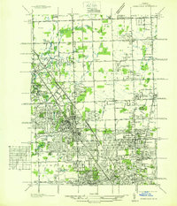
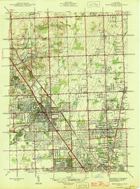
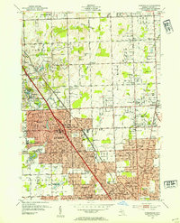
Historical Maps of Southfield Township Through Time
6 maps found