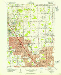
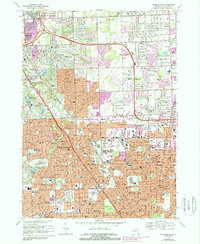
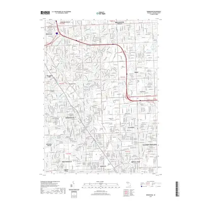
1952 Map of Birmingham
USGS Topo · Published 1954About this map
Birmingham and its neighboring Oakland County suburbs appear in the midst of mid-century residential expansion, with a dense network of country schools and family cemeteries still dotting the landscape. The iconic Shrine of the Little Flower stands at the southern edge near Royal Oak, while the Grand Trunk RR cuts a diagonal path through the growing heart of the city. The map reveals the academic character of the northwest, defined by the Cranbrook campus and its associated institutions like Kingswood Sch.
Find a feature on this map
98 named features on this map. Tap any name to fly to it.
Don’t see what you’re looking for? This feature index may not catch every label — zoom into the map to look around manually.
Map Details
Editions of this 1952 Birmingham Map
This is the sole edition of this map. No revisions or reprints were ever made.
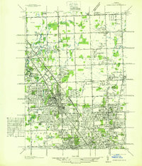
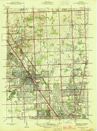
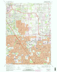
Historical Maps of Troy Through Time
10 maps found
1936 Birmingham
Oakland County, MI
1945 Birmingham
Oakland County, MI
1952 Birmingham
Oakland County, MI
1968 Birmingham
Oakland County, MI
1981 Birmingham
Oakland County, MI
2011 Birmingham
Oakland County, MI
2014 Birmingham
Oakland County, MI
2017 Birmingham
Oakland County, MI
2019 Birmingham
Oakland County, MI
2023 Birmingham
Oakland County, MI