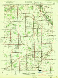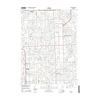
1936 Map of Warren
USGS Topo · Published 1936About this map
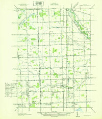
Warren and Royal Oak serve as focal points for this mid-1930s survey, illustrating the rapid transition from agrarian townships to organized suburban subdivisions. The landscape is defined by a rigid grid of mile roads, including Fourteenmile Rd and Big Beaver Rd, which frame numerous early residential developments like the Electric Park Subdivision and Lawson North View Subdivision. Industrial and transit connectivity is anchored by the Michigan Central Railroad, which runs parallel to State Highway No 53, supporting the local economy before the massive post-war industrial expansion of the region.
Find a feature on this map
74 named features on this map. Tap any name to fly to it.
Don’t see what you’re looking for? This feature index may not catch every label — zoom into the map to look around manually.
Map Details
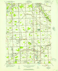
Editions of this 1936 Warren Map
This is the sole edition of this map. No revisions or reprints were ever made.
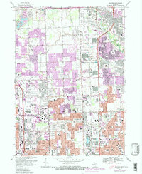
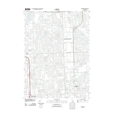
Historical Maps of Sterling Heights Through Time
9 maps found