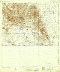
1910 Map of Bisbee
USGS Topo · Published 1936About this map
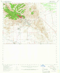
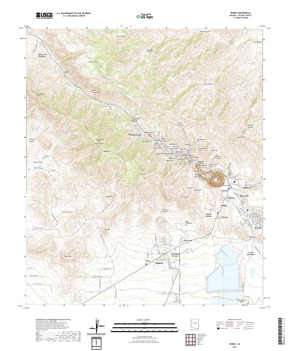
Bisbee and its surrounding copper-rich highlands dominate this early twentieth-century survey, revealing a landscape shaped by mining and international commerce. The town is situated within the Mule Mountains, where narrow canyons like Brewery Gulch and Dixie Canyon define the early urban footprint. To the south, the industrial influence of the El Paso and Southwestern RR is evident as it connects the mining district to the border settlement of Naco, which sits directly upon the United States Mexico Boundary Line.
Find a feature on this map
48 named features on this map. Tap any name to fly to it.
Don’t see what you’re looking for? This feature index may not catch every label — zoom into the map to look around manually.
Map Details
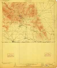
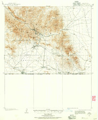
Editions of this 1910 Bisbee Map
2 editions found
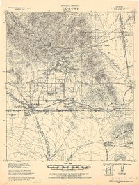
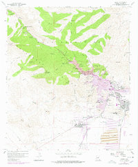
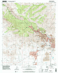
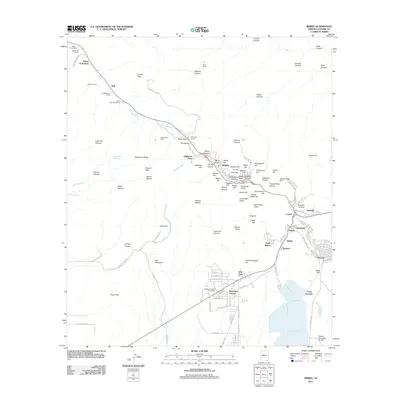
Historical Maps of Lowell Through Time
11 maps found
1902 Bisbee
Cochise County, AZ
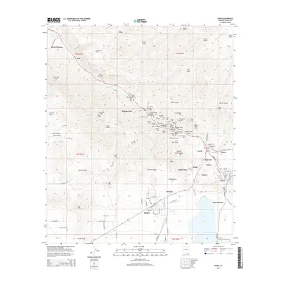
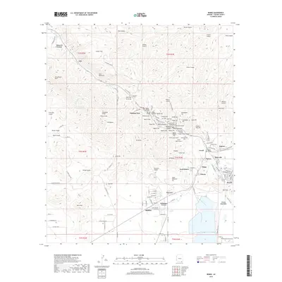
1910 Bisbee
Cochise County, AZ
1927 Bisbee
Cochise County, AZ

1933 Bisbee
Cochise County, AZ
1958 Bisbee
Cochise County, AZ
1958 Bisbee
Cochise County, AZ
1996 Bisbee
Cochise County, AZ
2011 Bisbee
Cochise County, AZ
2014 Bisbee
Cochise County, AZ
2018 Bisbee
Cochise County, AZ
2021 Bisbee
Cochise County, AZ