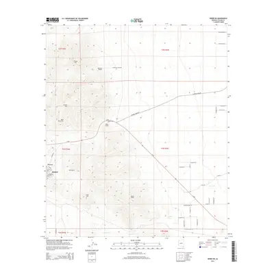
2014 Map of Bisbee NE
USGS Topo · Published 2014About this map
Bisbee and the neighborhood of Warren anchor the southwestern corner of this Arizona landscape, situated at the base of the Mule Mountains. This terrain is defined by its mining-era heritage and high-desert relief, where drainage systems like Mule Gulch and Gold Gulch have carved deep paths through the hills. The map illustrates a transition from the structured residential blocks of the historic mining settlements to the more dispersed ranching and rural roads of the east. Notable landmarks such as Gold Hill, Black Knob, and Cintura Hill rise above the surrounding valleys, while seasonal waterways like Glance Creek snake through the lower elevations. The road network, including Az-80 and local routes like W Double Adobe Road, reflects a land shaped by both topographical necessity and the logistics of early 21st-century desert living.
Find a feature on this map
46 named features on this map. Tap any name to fly to it.
Don’t see what you’re looking for? This feature index may not catch every label — zoom into the map to look around manually.
Map Details
Editions of this 2014 Bisbee NE Map
This is the sole edition of this map. No revisions or reprints were ever made.
Other maps of this area
1902 · Bisbee
USGS Topo · 1:62,500
1910 · Bisbee
USGS Topo · 1:62,500
1914 · Douglas
USGS Topo · 1:62,500
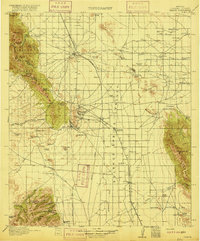
1916 · Pearce
USGS Topo · 1:125,000
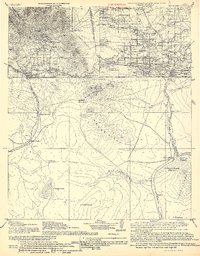
1916 · Douglas
USGS Topo · 1:125,000
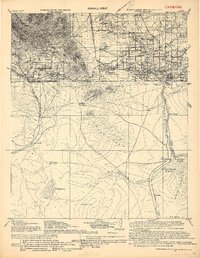
1919 · Douglas
USGS Topo · 1:125,000
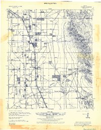
1922 · Swisshelm
USGS Topo · 1:62,500
1925 · Douglas
USGS Topo · 1:62,500
1925 · Gleeson
USGS Topo · 1:62,500
1927 · Bisbee
USGS Topo · 1:62,500