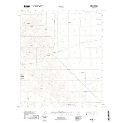
2018 Map of Bisbee NE
USGS Topo · Published 2018About this map
The southern Mule Mountains dominate this 2018 survey, providing the high-elevation backdrop for the residential and industrial corridors of Bisbee. This map highlights the transition from the high peaks of Cintura Hill and Grassy Hill down to the alluvial fans and drainage networks of Glance Cr and Mule Gulch. The historic neighborhood of Warren is clearly visible, showing its distinct street grid south of the primary mining district.
Find a feature on this map
43 named features on this map. Tap any name to fly to it.
Don’t see what you’re looking for? This feature index may not catch every label — zoom into the map to look around manually.
Map Details
Editions of this 2018 Bisbee NE Map
This is the sole edition of this map. No revisions or reprints were ever made.
Other maps of this area
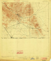
1902 · Bisbee
USGS Topo · 1:62,500
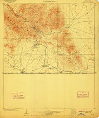
1910 · Bisbee
USGS Topo · 1:62,500
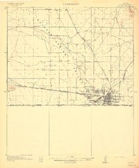
1914 · Douglas
USGS Topo · 1:62,500
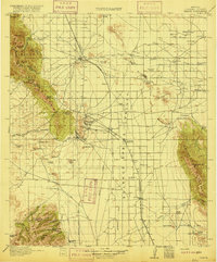
1916 · Pearce
USGS Topo · 1:125,000
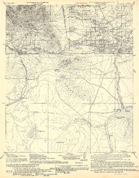
1916 · Douglas
USGS Topo · 1:125,000
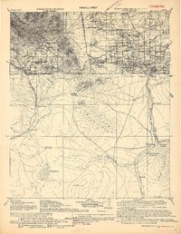
1919 · Douglas
USGS Topo · 1:125,000
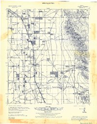
1922 · Swisshelm
USGS Topo · 1:62,500
1925 · Douglas
USGS Topo · 1:62,500
1925 · Gleeson
USGS Topo · 1:62,500
1927 · Bisbee
USGS Topo · 1:62,500