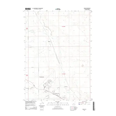
2015 Map of Bishop
USGS Topo · Published 2015About this map
Bishop and the surrounding high plains of Natrona County are defined by a mix of aviation infrastructure and the sparse drainage of Casper Cr. The southern portion of the landscape is dominated by the sprawling Casper/Natrona County International Airport, where a network of industrial and transport-related streets like Airport Pkwy and Commerce Dr intersect. Residential growth is concentrated at Air Base Acres, a community situated near the historic path of the Old Yellowstone Hwy.
Find a feature on this map
45 named features on this map. Tap any name to fly to it.
Don’t see what you’re looking for? This feature index may not catch every label — zoom into the map to look around manually.
Map Details
Editions of this 2015 Bishop Map
This is the sole edition of this map. No revisions or reprints were ever made.
Other maps of this area

1950 · Emigrant Gap
USGS Topo · 1:24,000

1950 · Goose Egg
USGS Topo · 1:24,000

1950 · Emigrant Gap NE
USGS Topo · 1:24,000

1951 · The Reefs
USGS Topo · 1:24,000

1951 · Casper
USGS Topo · 1:24,000

1952 · Bishop
USGS Topo · 1:24,000

1955 · Arminto
USGS Topo · 1:250,000

1955 · Casper
USGS Topo · 1:250,000

1958 · Casper
USGS Topo · 1:250,000

1958 · Arminto
USGS Topo · 1:250,000