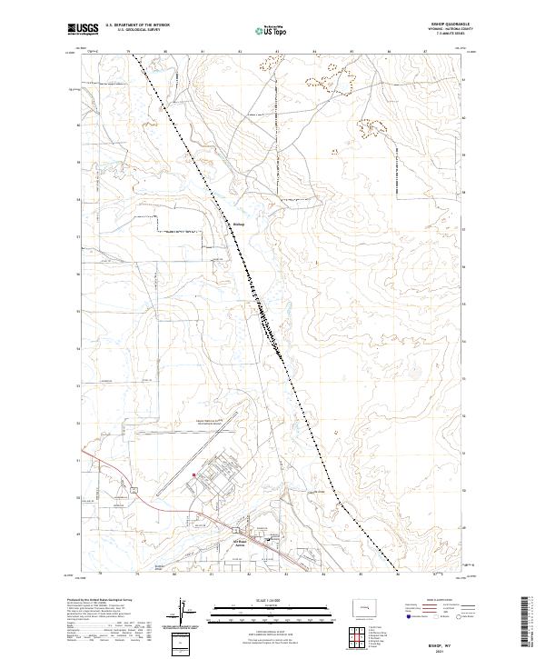
2021 Map of Bishop
USGS Topo · Published 2021About this map
Bishop and the residential community of Air Base Acres define this portion of the high plains, where modern aviation infrastructure meets the drainage basins of the North and South Forks of Casper Cr. The landscape is dominated by the Casper/Natrona County International Airport, a facility whose footprint and surrounding street grid, including Skinner Ave and Fuller St, reflect the region's development following military-to-civilian transitions. South of the main runways, the Natrona Memorial Gardens provides a local landmark near the residential clusters. The terrain is marked by significant natural drainages like Sixmile Draw, while the rural road network, including the aptly named Thirtythree Mile Rd and Nine Mile Rd, indicates the distance-driven character of this Wyoming expanse. The juxtaposition of industrial aviation hubs with established neighborhoods illustrates the organized growth of the Casper periphery.
Find a feature on this map
53 named features on this map. Tap any name to fly to it.
Don’t see what you’re looking for? This feature index may not catch every label — zoom into the map to look around manually.
Map Details
Editions of this 2021 Bishop Map
This is the sole edition of this map. No revisions or reprints were ever made.
Other maps of this area

1950 · Emigrant Gap
USGS Topo · 1:24,000

1950 · Goose Egg
USGS Topo · 1:24,000

1950 · Emigrant Gap NE
USGS Topo · 1:24,000

1951 · The Reefs
USGS Topo · 1:24,000

1951 · Casper
USGS Topo · 1:24,000

1952 · Bishop
USGS Topo · 1:24,000

1955 · Arminto
USGS Topo · 1:250,000

1955 · Casper
USGS Topo · 1:250,000

1958 · Casper
USGS Topo · 1:250,000

1958 · Arminto
USGS Topo · 1:250,000