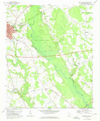
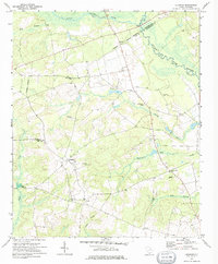
1969 Map of Bishopville East
USGS Topo · Published 1974About this map
The Lynches River corridor anchors this 1960s survey of central South Carolina, cutting a wide swathe of swampland through the heart of Lee State Park. The town of Bishopville serves as the primary hub, where the courthouse and Health Center stand alongside local institutions like Bethlehem Ch and the Robert E Lee Academy. The landscape is characterized by a series of prominent local crossings and small settlements, including Cypress Crossroads and Wisacky, many connected by the Seaboard Coast Line railroad. Rural life is well-documented through a dense network of country churches and family-named cemeteries such as Mt Pleasant Cem and Scotts Cem. An interesting infrastructure detail is the Proposed Location for a future highway corridor bisecting the quadrangle, reflecting the era's focus on regional connectivity.
Find a feature on this map
49 named features on this map. Tap any name to fly to it.
Don’t see what you’re looking for? This feature index may not catch every label — zoom into the map to look around manually.
Map Details
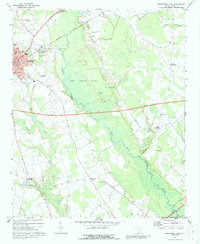
Editions of this 1969 Bishopville East Map
2 editions found
Other maps of this area

1941 · Spartanburg
USGS Topo · 1:250,000

1953 · Spartanburg
USGS Topo · 1:250,000

1957 · Ashwood
USGS Topo · 1:62,500

1960 · Spartanburg
USGS Topo · 1:250,000

1963 · Spartanburg
USGS Topo · 1:250,000

1964 · Spartanburg
USGS Topo · 1:250,000

1968 · Kellytown
USGS Topo · 1:24,000
1968 · Hartsville South
USGS Topo · 1:24,000
1969 · Lamar
USGS Topo · 1:24,000
1970 · Lucknow
USGS Topo · 1:24,000