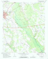
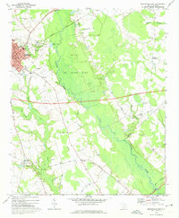
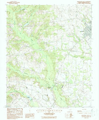
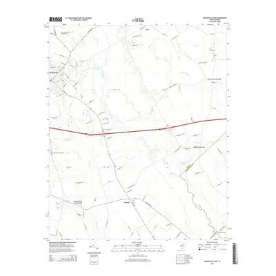
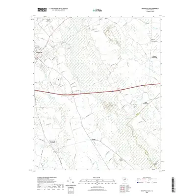
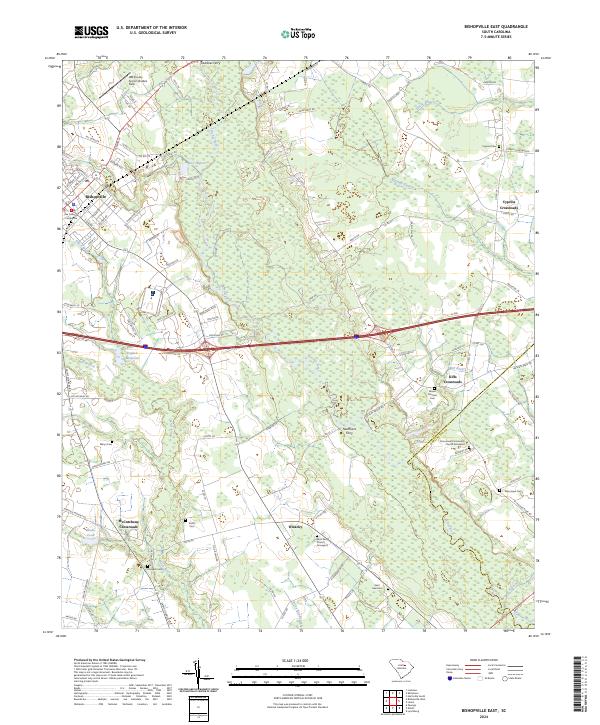
1969 Map of Bishopville East
USGS Topo · Published 1988About this map
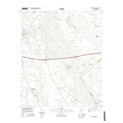
Lynches River carves a broad swampy corridor through this landscape, flanked by the sprawling Lee State Park at its center. The area surrounding the county seat of Bishopville reveals a busy municipal center in the late 1960s, featuring the Bishopville Municipal Airport, a Filtration Plant, and institutional landmarks like the Robert E Lee Academy and Dennis High Sch.
Find a feature on this map
56 named features on this map. Tap any name to fly to it.
Don’t see what you’re looking for? This feature index may not catch every label — zoom into the map to look around manually.
Map Details
Editions of this 1969 Bishopville East Map
2 editions found
Historical Maps of Bishopville Through Time
30 maps found
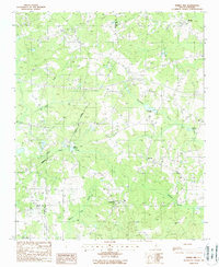
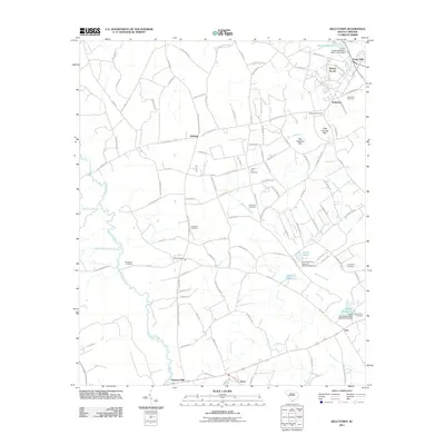
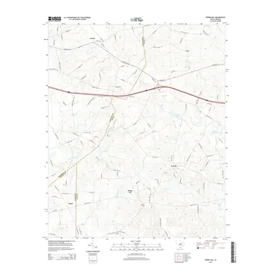
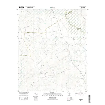
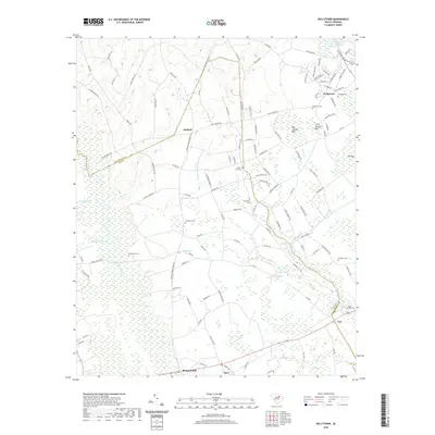
1968 Kellytown
Lee County, SC
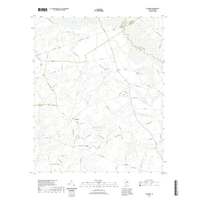
1969 Bishopville East
Lee County, SC
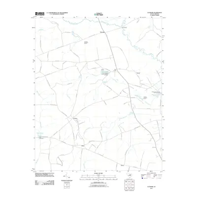
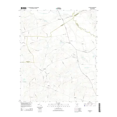
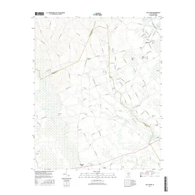
1970 Lucknow
Lee County, SC
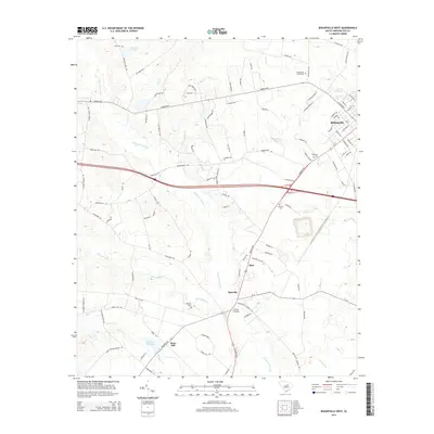
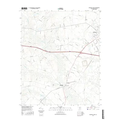
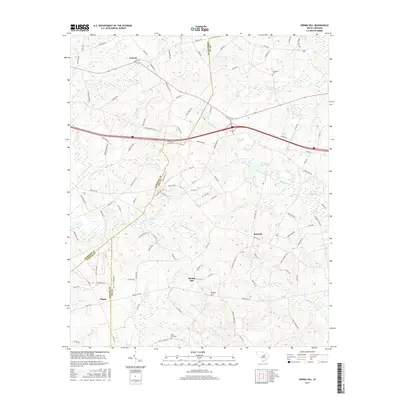
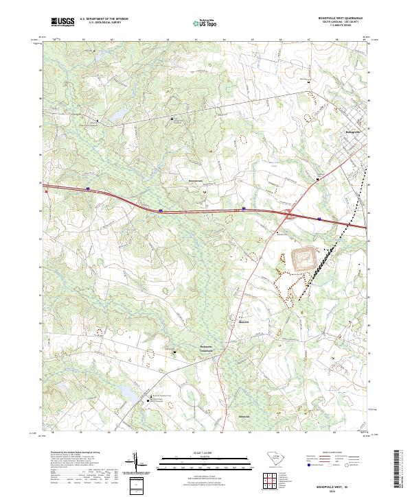
1988 Bishopville West
Lee County, SC
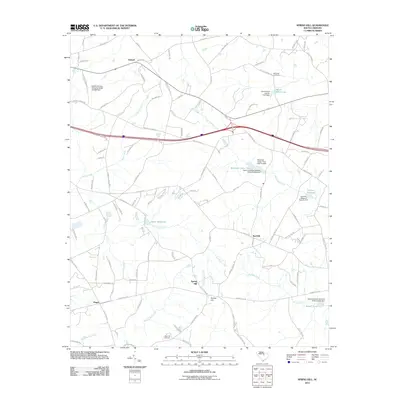
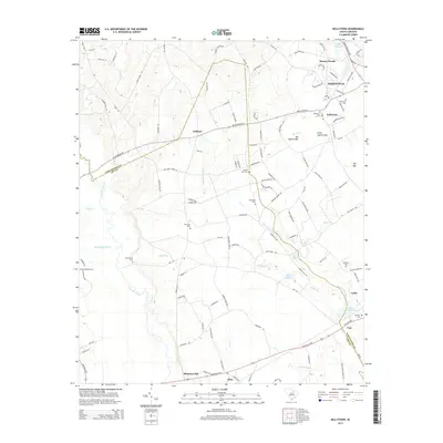
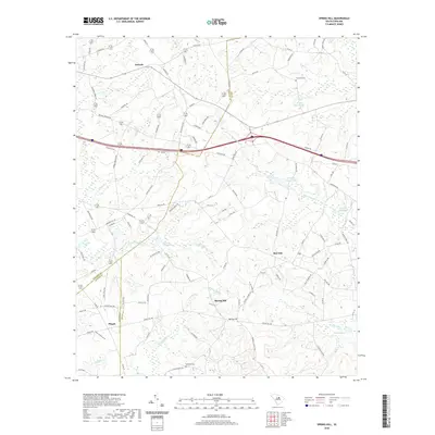
1988 Spring Hill
Lee County, SC
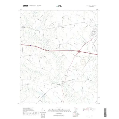
2011 Bishopville East
Lee County, SC
2011 Bishopville West
Lee County, SC
2011 Kellytown
Lee County, SC
2011 Lucknow
Lee County, SC
2011 Spring Hill
Lee County, SC
2014 Bishopville East
Lee County, SC
2014 Bishopville West
Lee County, SC
2014 Kellytown
Lee County, SC
2014 Lucknow
Lee County, SC
2014 Spring Hill
Lee County, SC
2017 Bishopville East
Lee County, SC
2017 Bishopville West
Lee County, SC
2017 Kellytown
Lee County, SC
2017 Lucknow
Lee County, SC
2017 Spring Hill
Lee County, SC
2020 Bishopville East
Lee County, SC
2020 Bishopville West
Lee County, SC
2020 Kellytown
Lee County, SC
2020 Lucknow
Lee County, SC
2020 Spring Hill
Lee County, SC
2024 Bishopville East
Lee County, SC
2024 Bishopville West
Lee County, SC
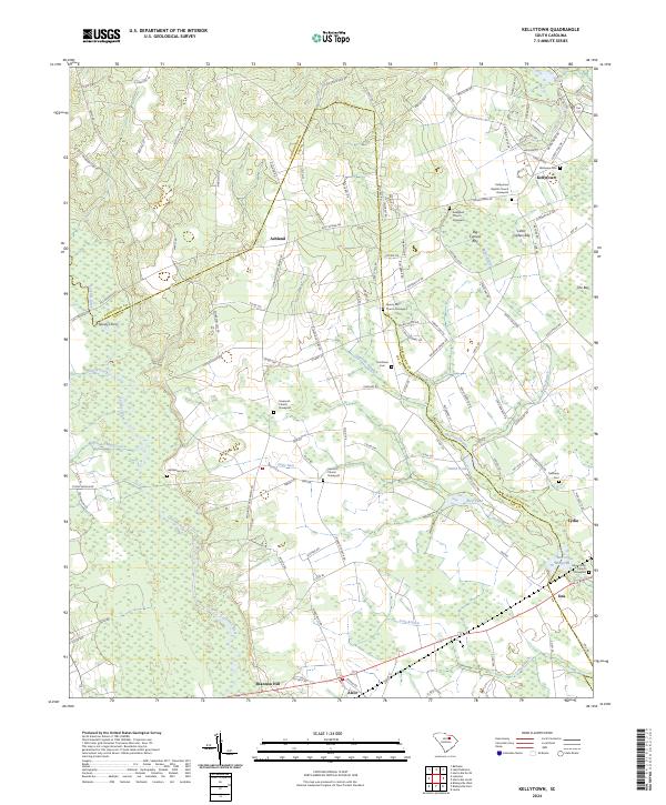
2024 Kellytown
Lee County, SC
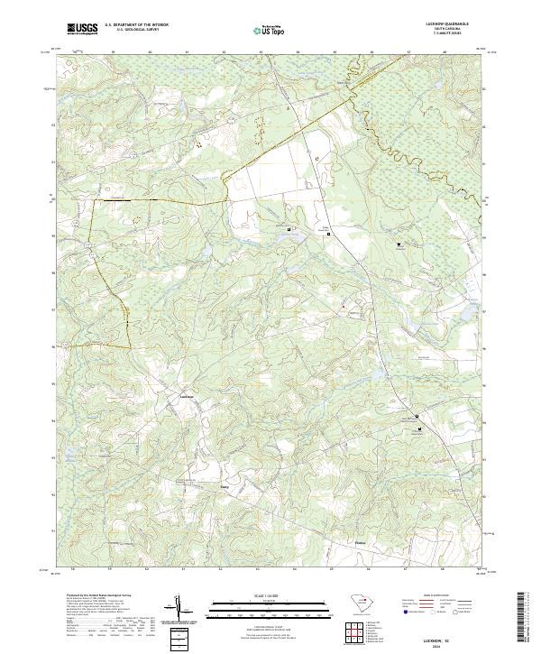
2024 Lucknow
Lee County, SC
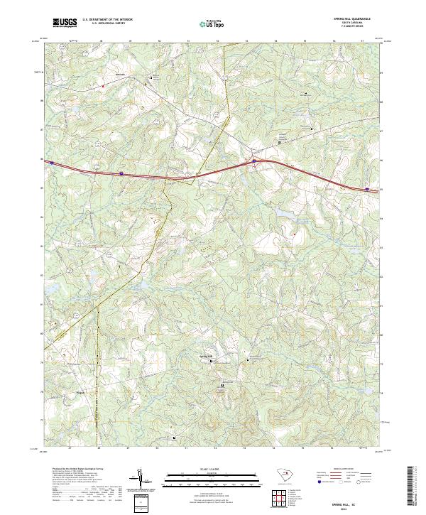
2024 Spring Hill
Lee County, SC