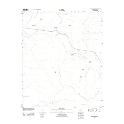
2011 Map of Bismarck Mesa
USGS Topo · Published 2011About this map
Grand View occupies a prominent position within this high-desert landscape of Yavapai County, characterized by a complex network of drainages and dramatic elevation changes. The terrain is anchored by the Bismarck Mesa and the northern reaches of the Weaver Mountains, creating a rugged backdrop for the seasonal watercourses that define the region. Principal among these are Kirkland Creek and Moonville Creek, which carve through deep canyons like Dipper Canyon and Bells Canyon.
Find a feature on this map
25 named features on this map. Tap any name to fly to it.
Don’t see what you’re looking for? This feature index may not catch every label — zoom into the map to look around manually.
Map Details
Editions of this 2011 Bismarck Mesa Map
This is the sole edition of this map. No revisions or reprints were ever made.
Other maps of this area

1887 · Prescott
USGS Topo · 1:250,000

1892 · Prescott
USGS Topo · 1:250,000

1903 · Congress
USGS Topo · 1:125,000

1904 · Congress
USGS Topo · 1:125,000

1947 · Iron Springs
USGS Topo · 1:62,500

1947 · Kirkland
USGS Topo · 1:62,500

1947 · Sheridan Mountain
USGS Topo · 1:62,500

1948 · Sheridan Mountain
USGS Topo · 1:63,360

1948 · Iron Springs
USGS Topo · 1:63,360

1948 · Kirkland
USGS Topo · 1:63,360