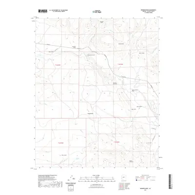
2021 Map of Bismarck Mesa
USGS Topo · Published 2021About this map
Bismarck Mesa dominates the central portion of this Yavapai County landscape, serving as a high plateau between the Kendrick Mountains to the east and the deep drainages of Cottonwood Canyon and Black Canyon to the west. The small settlement of Grand View sits at the southern edge of the mesa, overseeing a rugged terrain defined by significant water sources like Upper Cook Spring, Bells Spring, and Red Bank Spring.
Find a feature on this map
31 named features on this map. Tap any name to fly to it.
Don’t see what you’re looking for? This feature index may not catch every label — zoom into the map to look around manually.
Map Details
Editions of this 2021 Bismarck Mesa Map
This is the sole edition of this map. No revisions or reprints were ever made.
Other maps of this area

1887 · Prescott
USGS Topo · 1:250,000

1892 · Prescott
USGS Topo · 1:250,000

1903 · Congress
USGS Topo · 1:125,000

1904 · Congress
USGS Topo · 1:125,000

1947 · Iron Springs
USGS Topo · 1:62,500

1947 · Kirkland
USGS Topo · 1:62,500

1947 · Sheridan Mountain
USGS Topo · 1:62,500

1948 · Sheridan Mountain
USGS Topo · 1:63,360

1948 · Iron Springs
USGS Topo · 1:63,360

1948 · Kirkland
USGS Topo · 1:63,360