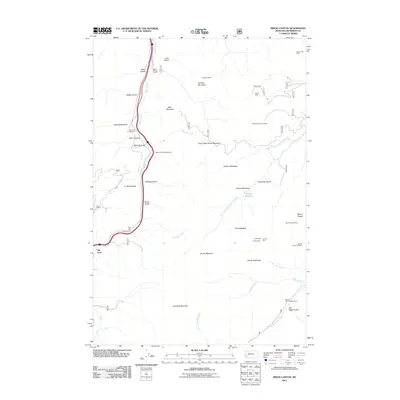
2011 Map of Bison Canyon
USGS Topo · Published 2011About this map
Bison Canyon and the surrounding high-elevation basins of Jefferson County are defined by a long history of resource extraction and mountain passage. The terrain is marked by numerous historic mining claims, including the Eureka Mine, Shiels and Ironsides Mine, and Alport Mine, concentrated along the slopes of Mount Pisgah and Sullivan Mountain. These sites represent the enduring legacy of Montana's mining industry within the Continental Divide region.
Find a feature on this map
42 named features on this map. Tap any name to fly to it.
Don’t see what you’re looking for? This feature index may not catch every label — zoom into the map to look around manually.
Map Details
Editions of this 2011 Bison Canyon Map
This is the sole edition of this map. No revisions or reprints were ever made.
Other maps of this area

1889 · Helena
USGS Topo · 1:250,000

1893 · Helena
USGS Topo · 1:250,000

1899 · Boulder
USGS Topo · 1:125,000

1899 · Helena
USGS Topo · 1:250,000

1903 · Helena
USGS Topo · 1:250,000

1947 · Butte
USGS Topo · 1:250,000

1950 · Jefferson City
USGS Topo · 1:62,500

1954 · Elk Park
USGS Topo · 1:62,500

1954 · Basin
USGS Topo · 1:62,500

1954 · Boulder
USGS Topo · 1:62,500