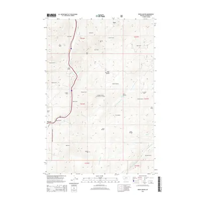
2014 Map of Bison Canyon
USGS Topo · Published 2014About this map
Deerlodge National Forest blankets this section of Jefferson County, where the topography is defined by a dense network of gulches and high meadows. The settlement of Elk Park sits at the southern entrance to the steep-walled Bison Canyon, while Basin is situated at the northern edge. The landscape is a high-altitude drainage system, with the N Fork Little Boulder River and the Little Boulder River cutting through narrow valleys between prominent peaks like Sullivan Mtn and Mt Pisgah. Numerous named clearings, such as Hidden Meadows and Berrys Meadows, suggest a history of seasonal grazing or high-country activity. The geography is marked by a series of long drainages like Sullivan Gulch and Gray Gulch that feed into the larger river systems, illustrating the complex hydrology of the Continental Divide region.
Find a feature on this map
44 named features on this map. Tap any name to fly to it.
Don’t see what you’re looking for? This feature index may not catch every label — zoom into the map to look around manually.
Map Details
Editions of this 2014 Bison Canyon Map
This is the sole edition of this map. No revisions or reprints were ever made.
Other maps of this area

1889 · Helena
USGS Topo · 1:250,000

1893 · Helena
USGS Topo · 1:250,000

1899 · Boulder
USGS Topo · 1:125,000

1899 · Helena
USGS Topo · 1:250,000

1903 · Helena
USGS Topo · 1:250,000

1947 · Butte
USGS Topo · 1:250,000

1950 · Jefferson City
USGS Topo · 1:62,500

1954 · Elk Park
USGS Topo · 1:62,500

1954 · Basin
USGS Topo · 1:62,500

1954 · Boulder
USGS Topo · 1:62,500