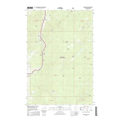
2017 Map of Bison Canyon
USGS Topo · Published 2017About this map
Deerlodge National Forest covers much of this high-elevation terrain, where steep drainages and meadow systems define the landscape south of Basin. The topographic relief is punctuated by prominent peaks including Bear Mtn and Sullivan Mtn in the north, and Haystack Mtn near the southern boundary. This area serves as a significant drainage basin for the Little Boulder River and its various tributaries like Homesite Cr and Bison Cr.
Find a feature on this map
43 named features on this map. Tap any name to fly to it.
Don’t see what you’re looking for? This feature index may not catch every label — zoom into the map to look around manually.
Map Details
Editions of this 2017 Bison Canyon Map
This is the sole edition of this map. No revisions or reprints were ever made.
Other maps of this area

1889 · Helena
USGS Topo · 1:250,000

1893 · Helena
USGS Topo · 1:250,000

1899 · Boulder
USGS Topo · 1:125,000

1899 · Helena
USGS Topo · 1:250,000

1903 · Helena
USGS Topo · 1:250,000

1947 · Butte
USGS Topo · 1:250,000

1950 · Jefferson City
USGS Topo · 1:62,500

1954 · Elk Park
USGS Topo · 1:62,500

1954 · Basin
USGS Topo · 1:62,500

1954 · Boulder
USGS Topo · 1:62,500