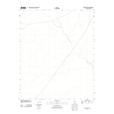
2012 Map of Bitter Spring
USGS Topo · Published 2012About this map
Bitter Spring remains a critical hydrological point in this arid stretch of San Bernardino County, appearing as a focal point for the intermittent drainage systems that carve through the Mojave landscape. The infrastructure of the modern era is represented by Powerline Rd, which cuts diagonally across the quadrangle, following the utility corridor that serves the region. This 2012 survey illustrates the stark, undeveloped nature of the high desert, where natural springs and maintenance tracks provide the primary markers for navigation in an otherwise open terrain.
Find a feature on this map
2 named features on this map. Tap any name to fly to it.
Don’t see what you’re looking for? This feature index may not catch every label — zoom into the map to look around manually.
Map Details
Editions of this 2012 Bitter Spring Map
This is the sole edition of this map. No revisions or reprints were ever made.
Other maps of this area

1933 · Avawatz Mountains
USGS Topo · 1:250,000

1947 · Trona
USGS Topo · 1:250,000

1948 · Red Pass Lake
USGS Topo · 1:62,500

1948 · Trona
USGS Topo · 1:250,000

1948 · Alvord Mountain
USGS Topo · 1:62,500

1948 · Cave Mountain
USGS Topo · 1:62,500

1948 · Tiefort Mountains
USGS Topo · 1:62,500

1951 · Tiefort Mountains
USGS Topo · 1:62,500

1951 · Cave Mountain
USGS Topo · 1:62,500

1951 · Alvord Mountain
USGS Topo · 1:62,500