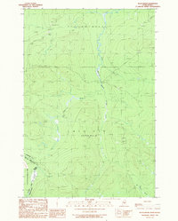
1989 Map of Black Brook
USGS Topo · Published 1989About this map
The Southwest Branch St John River carves through this remote northern landscape along the Quebec-Maine border during the late 1980s. This survey, grounded in data from the Canada-United States boundary, reveals a territory primarily defined by its hydrology and industrial resource extraction rather than permanent settlement. The watershed includes Black Brook and Norris Brook, which feed the river system as it flows through Big Six and T 7 R 19 W E L S. Local industry is evidenced by several excavations, including a Shale Pit and multiple Sand and Gravel Pits located near private access roads. The map provides a precise look at the international divide where Somerset County meets the MRC de Dorchester and the Canton de Metgermette-Nord in Quebec.
Find a feature on this map
15 named features on this map. Tap any name to fly to it.
Don’t see what you’re looking for? This feature index may not catch every label — zoom into the map to look around manually.
Map Details
Editions of this 1989 Black Brook Map
This is the sole edition of this map. No revisions or reprints were ever made.
Other maps of this area

1957 · Norris Brook
USGS Topo · 1:62,500

1957 · Hardwood Mountain
USGS Topo · 1:62,500

1957 · Saint Zacharie
USGS Topo · 1:62,500

1962 · Quebec
USGS Topo · 1:250,000
1986 · Lac Etchemin
USGS Topo · 1:100,000
1989 · Hurricane Pond
USGS Topo · 1:24,000
1989 · Hurricane Hill
USGS Topo · 1:24,000
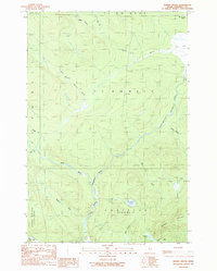
1989 · Norris Brook
USGS Topo · 1:24,000
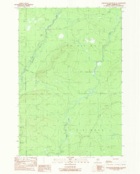
1989 · Hardwood Mountain SE
USGS Topo · 1:24,000
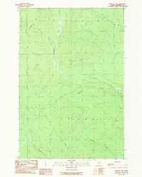
1989 · Hinckley Hill
USGS Topo · 1:24,000