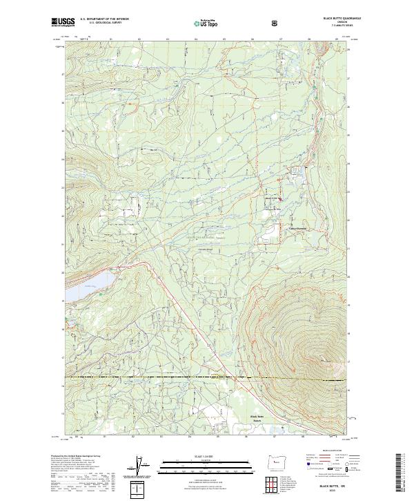
2023 Map of Black Butte
USGS Topo · Published 2023About this map
Camp Sherman and Black Butte Ranch anchor this high-country landscape on the eastern slopes of the Cascade Range. The map highlights a complex hydrology where the Metolius Wild and Scenic River emerges, specifically noting the Head of the Metolius and Metolius Spring. This area within the Deschutes National Forest is defined by its transition from the volcanic heights of Black Butte down to a dense network of water bodies and tributary creeks like Jack Creek and Lake Creek.
Find a feature on this map
40 named features on this map. Tap any name to fly to it.
Don’t see what you’re looking for? This feature index may not catch every label — zoom into the map to look around manually.
Map Details
Editions of this 2023 Black Butte Map
This is the sole edition of this map. No revisions or reprints were ever made.
Other maps of this area

1927 · Mt. Jefferson
USGS Topo · 1:125,000

1929 · Three Sisters
USGS Topo · 1:125,000

1930 · Mt. Jefferson
USGS Topo · 1:125,000

1932 · Three Sisters
USGS Topo · 1:125,000

1955 · Bend
USGS Topo · 1:250,000

1957 · Bend
USGS Topo · 1:250,000

1958 · Bend
USGS Topo · 1:250,000

1959 · Three Fingered Jack
USGS Topo · 1:62,500

1959 · Sisters
USGS Topo · 1:62,500

1961 · Whitewater River
USGS Topo · 1:62,500