
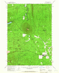
1959 Map of Sisters
USGS Topo · Published 1961About this map
Sisters serves as the focal point for this late-1950s survey, situated where the Santiam Highway meets the historic Santiam Wagon Road. The settlement landscape is defined by a mix of ranching and forestry operations, including Black Butte Ranch and Circle M Ranch, alongside numerous recreation sites within the Deschutes National Forest. Significant local infrastructure is evident at the Barclay Landing Field and the Fish Hatchery near Camp Sherman.
Find a feature on this map
82 named features on this map. Tap any name to fly to it.
Don’t see what you’re looking for? This feature index may not catch every label — zoom into the map to look around manually.
Map Details
Editions of this 1959 Sisters Map
2 editions found
Other maps of this area

1926 · Bend
USGS Topo · 1:125,000

1927 · Mt. Jefferson
USGS Topo · 1:125,000

1928 · Madras
USGS Topo · 1:125,000

1929 · Bend
USGS Topo · 1:125,000

1929 · Three Sisters
USGS Topo · 1:125,000

1930 · Mt. Jefferson
USGS Topo · 1:125,000

1931 · Madras
USGS Topo · 1:125,000

1932 · Three Sisters
USGS Topo · 1:125,000

1955 · Bend
USGS Topo · 1:250,000

1957 · Bend
USGS Topo · 1:250,000