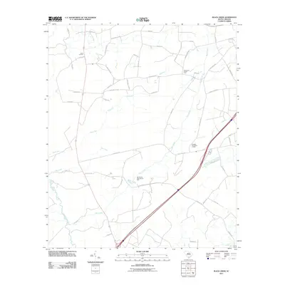
2011 Map of Black Creek
USGS Topo · Published 2011About this map
Shiloh Cemetery sits at the northern end of this Colleton County landscape, marking a point of long-standing community history near the Shiloh Loop. The terrain is defined by the slow-moving waters of Black Creek and Sandy Run, which converge as they flow toward the Combahee River in the southwest corner. The map documents a rural network of family and state roads, including Cane Branch Rd and Scuffletown Rd, which thread through the lowcountry pine and wetlands.
Find a feature on this map
50 named features on this map. Tap any name to fly to it.
Don’t see what you’re looking for? This feature index may not catch every label — zoom into the map to look around manually.
Map Details
Editions of this 2011 Black Creek Map
This is the sole edition of this map. No revisions or reprints were ever made.
Other maps of this area

1918 · Walterboro
USGS Topo · 1:62,500

1918 · Green Pond
USGS Topo · 1:62,500

1918 · Yemassee
USGS Topo · 1:62,500

1919 · Cummings
USGS Topo · 1:62,500

1943 · Yemassee
USGS Topo · 1:62,500

1943 · Green Pond
USGS Topo · 1:62,500

1943 · Cummings
USGS Topo · 1:62,500

1943 · Walterboro
USGS Topo · 1:62,500

1947 · Savannah
USGS Topo · 1:250,000

1948 · Savannah
USGS Topo · 1:250,000