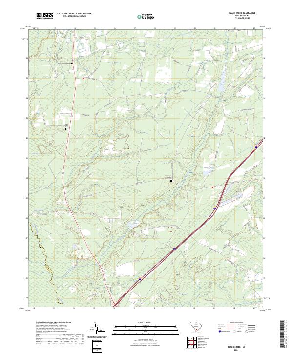
2024 Map of Black Creek
USGS Topo · Published 2024About this map
Black Creek winds through the wetlands of the Lowcountry in this modern survey of the South Carolina coastal plain. The landscape is defined by its water systems and rural landmarks, notably the Black Creek Baptist Church Cem and the Shiloh Church Graveyard. These sacred sites, along with Saint Mary Cem, serve as primary focal points for genealogical research in an area otherwise characterized by dense swampy terrain and sprawling timberlands. Local hydrology is complex, featuring named basins like Horse Bay and Big Survey Lake, alongside Bull Creek and the Combahee River. A network of rural roads including Low Country Hwy, Cane Branch Rd, and Scuffletown Rd connects these isolated points of interest, tracing the path of local settlement through the marshy interior of Colleton County.
Find a feature on this map
52 named features on this map. Tap any name to fly to it.
Don’t see what you’re looking for? This feature index may not catch every label — zoom into the map to look around manually.
Map Details
Editions of this 2024 Black Creek Map
This is the sole edition of this map. No revisions or reprints were ever made.
Other maps of this area

1918 · Walterboro
USGS Topo · 1:62,500

1918 · Green Pond
USGS Topo · 1:62,500

1918 · Yemassee
USGS Topo · 1:62,500

1919 · Cummings
USGS Topo · 1:62,500

1943 · Yemassee
USGS Topo · 1:62,500

1943 · Green Pond
USGS Topo · 1:62,500

1943 · Cummings
USGS Topo · 1:62,500

1943 · Walterboro
USGS Topo · 1:62,500

1947 · Savannah
USGS Topo · 1:250,000

1948 · Savannah
USGS Topo · 1:250,000