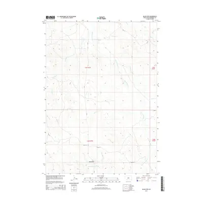
2015 Map of Black Eyes
USGS Topo · Published 2015About this map
Black Eyes marks a central point of interest in this Bennett County landscape, where the prairie is defined by a network of seasonal drainages and creek beds. The drainage patterns of Bear-in-the-Lodge Cr and Pretty Hip Cr dominate the topography, illustrating the natural water management of the region's high plains. A sparse grid of rural routes, including Bud Rd and Redwood Rd, connects the open sections of the Public Land Survey System, specifically t39n r37w and surrounding townships. This 2015 survey provides a modern baseline for the terrain, showing the relationship between small-scale ranching infrastructure and the primary waterways like Red Horse Cr and Spring Cr. Researchers can trace the enduring geography of the South Dakota interior through these precisely mapped contours and local road names.
Find a feature on this map
14 named features on this map. Tap any name to fly to it.
Don’t see what you’re looking for? This feature index may not catch every label — zoom into the map to look around manually.
Map Details
Editions of this 2015 Black Eyes Map
This is the sole edition of this map. No revisions or reprints were ever made.
Other maps of this area

1955 · Martin
USGS Topo · 1:250,000

1958 · Martin
USGS Topo · 1:250,000

1981 · Patricia
USGS Topo · 1:25,000

1981 · Martin
USGS Topo · 1:25,000

1981 · Allen
USGS Topo · 1:25,000

1981 · Hisle
USGS Topo · 1:25,000

1981 · Swett
USGS Topo · 1:25,000
1981 · Buzzard Butte
USGS Topo · 1:25,000

1983 · Martin
USGS Topo · 1:100,000
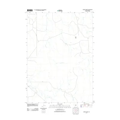
2012 · Horse Creek
USGS Topo · 1:24,000