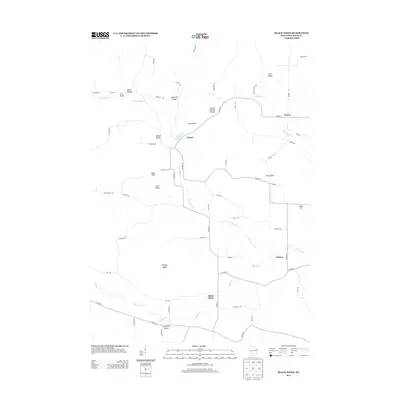
2013 Map of Black Hawk
USGS Topo · Published 2013About this map
Honey Cr and its various branches, including the N Br Honey Cr and E Br Honey Cr, define the drainage and settlement patterns of this rural Sauk County landscape. The community of Leland serves as a central point, situated near the Leland Millpond and the distinct geological formation of the Leland Natural Bridge. This area is characterized by a series of named valleys and draws, such as Irish Valley, Federman Valley, and Hemlock Draw, which suggest a history of localized farming and early land divisions. Further east and south, the smaller settlements of Denzer, Witwen, and Black Hawk are connected by a network of county highways and local roads like Slotty Rd and School Rd. Prominent landmarks such as Tower Rock and Pillar Rock rise above the terrain, providing fixed navigational points in an area dominated by ridges like Dalkey Ridge and Cedar Hill.
Find a feature on this map
58 named features on this map. Tap any name to fly to it.
Don’t see what you’re looking for? This feature index may not catch every label — zoom into the map to look around manually.
Map Details
Editions of this 2013 Black Hawk Map
This is the sole edition of this map. No revisions or reprints were ever made.
Other maps of this area

1901 · Denzer
USGS Topo · 1:62,500

1905 · Richland Center
USGS Topo · 1:125,000

1920 · Blue Mounds
USGS Topo · 1:62,500

1922 · Blue Mounds
USGS Topo · 1:62,500

1957 · Madison
USGS Topo · 1:250,000

1958 · North Freedom
USGS Topo · 1:62,500

1958 · La Crosse
USGS Topo · 1:250,000

1960 · Madison
USGS Topo · 1:250,000

1960 · Plain
USGS Topo · 1:62,500

1960 · Spring Green
USGS Topo · 1:62,500