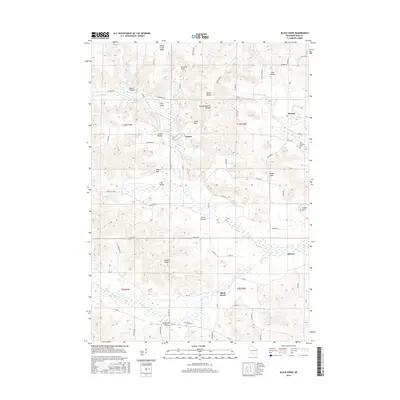
2016 Map of Black Hawk
USGS Topo · Published 2016About this map
Leland and the surrounding Honey Creek watershed are the focal points of this 2016 survey, where the landscape is defined by complex valley networks and prominent sandstone formations. The geography transitions from the upland heights of Honey Creek Ridge and South Range down into narrow drainage features like Hemlock Draw and Borns Hollow. The village of Leland sits adjacent to the Leland- Millpond, a notable water feature that historically supported local industry.
Find a feature on this map
71 named features on this map. Tap any name to fly to it.
Don’t see what you’re looking for? This feature index may not catch every label — zoom into the map to look around manually.
Map Details
Editions of this 2016 Black Hawk Map
This is the sole edition of this map. No revisions or reprints were ever made.
Other maps of this area

1901 · Denzer
USGS Topo · 1:62,500

1905 · Richland Center
USGS Topo · 1:125,000

1920 · Blue Mounds
USGS Topo · 1:62,500

1922 · Blue Mounds
USGS Topo · 1:62,500

1957 · Madison
USGS Topo · 1:250,000

1958 · North Freedom
USGS Topo · 1:62,500

1958 · La Crosse
USGS Topo · 1:250,000

1960 · Madison
USGS Topo · 1:250,000

1960 · Plain
USGS Topo · 1:62,500

1960 · Spring Green
USGS Topo · 1:62,500