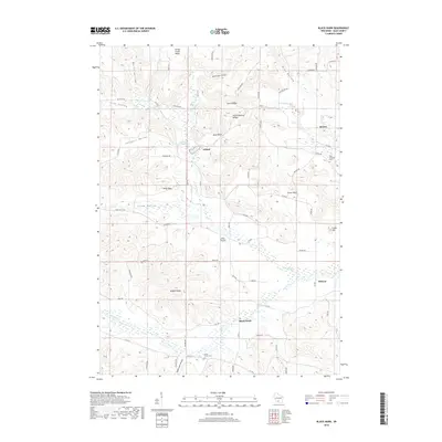
2018 Map of Black Hawk
USGS Topo · Published 2018About this map
Honey Creek meanders through the heart of Sauk County, defining a landscape where the driftless area's intricate terrain meets rural settlement. The northern reaches are characterized by deep draws and hollows, including Borns Hollow and Pine Hollow, while the central portion is anchored by the community of Leland. This area features the notable Leland Natural Bridge and the Leland Millpond, reflecting both geological interest and early industrial utility.
Find a feature on this map
69 named features on this map. Tap any name to fly to it.
Don’t see what you’re looking for? This feature index may not catch every label — zoom into the map to look around manually.
Map Details
Editions of this 2018 Black Hawk Map
This is the sole edition of this map. No revisions or reprints were ever made.
Other maps of this area

1901 · Denzer
USGS Topo · 1:62,500

1905 · Richland Center
USGS Topo · 1:125,000

1920 · Blue Mounds
USGS Topo · 1:62,500

1922 · Blue Mounds
USGS Topo · 1:62,500

1957 · Madison
USGS Topo · 1:250,000

1958 · North Freedom
USGS Topo · 1:62,500

1958 · La Crosse
USGS Topo · 1:250,000

1960 · Madison
USGS Topo · 1:250,000

1960 · Plain
USGS Topo · 1:62,500

1960 · Spring Green
USGS Topo · 1:62,500