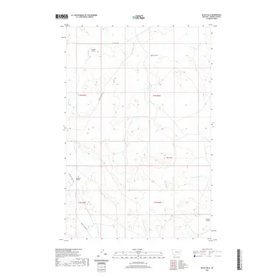
2020 Map of Black Hills
USGS Topo · Published 2020About this map
Black Hills anchors the southeastern landscape of this Garfield County quadrangle, where the terrain is defined by a complex network of dry creek beds and erosional coulees. The drainage pattern is led by the meandering Little Dry Cr in the north and the extensive Cottonwood Cr system that winds through the western reaches. This 2020 survey reveals the sparse infrastructure of the region, where connectivity is limited to remote arteries like Garfield Co Road 216 and W Little Dry Rd.
Find a feature on this map
15 named features on this map. Tap any name to fly to it.
Don’t see what you’re looking for? This feature index may not catch every label — zoom into the map to look around manually.
Map Details
Editions of this 2020 Black Hills Map
This is the sole edition of this map. No revisions or reprints were ever made.
Other maps of this area

1954 · Jordan
USGS Topo · 1:250,000

1954 · Forsyth
USGS Topo · 1:250,000

1956 · Jordan
USGS Topo · 1:250,000

1957 · Forsyth
USGS Topo · 1:250,000

1958 · Jordan
USGS Topo · 1:250,000

1958 · Forsyth
USGS Topo · 1:250,000

1964 · Jordan
USGS Topo · 1:250,000

1965 · Black Hills
USGS Topo · 1:24,000

1965 · Needle Butte Reservoir
USGS Topo · 1:24,000

1965 · Needle Butte
USGS Topo · 1:24,000