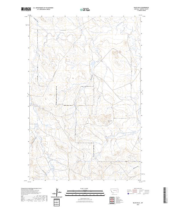
2024 Map of Black Hills
USGS Topo · Published 2024About this map
Black Hills rise from the eastern Montana plains in this recent topographic survey of Garfield County. The landscape is defined by an intricate network of drainage systems, with Little Dry Creek and Lone Tree Creek carving through the terrain. The map captures the current state of a sparsely populated ranching region, where travel is dictated by routes like Garfield Co Road 216 and W Little Dry Rd.
Find a feature on this map
15 named features on this map. Tap any name to fly to it.
Don’t see what you’re looking for? This feature index may not catch every label — zoom into the map to look around manually.
Map Details
Editions of this 2024 Black Hills Map
This is the sole edition of this map. No revisions or reprints were ever made.
Other maps of this area

1954 · Jordan
USGS Topo · 1:250,000

1954 · Forsyth
USGS Topo · 1:250,000

1956 · Jordan
USGS Topo · 1:250,000

1957 · Forsyth
USGS Topo · 1:250,000

1958 · Jordan
USGS Topo · 1:250,000

1958 · Forsyth
USGS Topo · 1:250,000

1964 · Jordan
USGS Topo · 1:250,000

1965 · Black Hills
USGS Topo · 1:24,000

1965 · Needle Butte Reservoir
USGS Topo · 1:24,000

1965 · Needle Butte
USGS Topo · 1:24,000