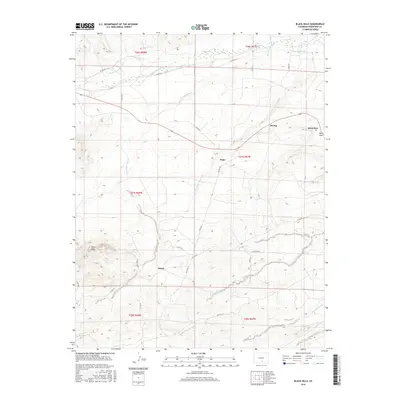
2016 Map of Black Hills
USGS Topo · Published 2016About this map
The Huerfano River flows across the northern section of this landscape, its waters diverted into irrigation systems like the Pino Ditch and Martin Ditch Number 2. This region of Huerfano County is defined by its network of arroyos, including Dog Springs Arroyo and Ojo de Alamo Arroyo, which carve through the terrain south of the Black Hills. The settlement pattern centers on small localities like Tioga, Alamo, and Strong, reflecting the rural development of southern Colorado. In the east, Bells Gap and the nearby community of Delcarbon sit among a complex drainage system that includes Butte Cr and Gordon Arroyo. The extensive grid of county roads, such as Co RD 614 and Co RD 521, connects these isolated points of habitation, illustrating the modern infrastructure overlaid on a semi-arid ranching and resource-rich environment.
Find a feature on this map
36 named features on this map. Tap any name to fly to it.
Don’t see what you’re looking for? This feature index may not catch every label — zoom into the map to look around manually.
Map Details
Editions of this 2016 Black Hills Map
This is the sole edition of this map. No revisions or reprints were ever made.
Other maps of this area

1889 · Huerfano Park
USGS Topo · 1:125,000

1891 · Walsenburg
USGS Topo · 1:125,000

1892 · Huerfano Park
USGS Topo · 1:125,000

1894 · Walsenburg
USGS Topo · 1:125,000

1897 · Walsenburg
USGS Topo · 1:125,000

1900 · Walsenburg
USGS Topo · 1:125,000

1954 · Trinidad
USGS Topo · 1:250,000

1955 · Trinidad
USGS Topo · 1:250,000

1958 · Trinidad
USGS Topo · 1:250,000

1959 · Trinidad
USGS Topo · 1:250,000