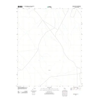
2012 Map of Black Hills
USGS Topo · Published 2012About this map
The Black Hills rise from the desert floor in this 2012 survey of a remote pocket within San Bernardino County. This section of the Mojave desert is characterized by a sparse network of unpaved roads and seasonal drainage paths, reflecting the arid environment and minimal human development in this specific quadrant. The map detail highlights the subtle elevation changes of the namesake hills, which serve as the primary geographical anchor for the surrounding terrain. While largely uninhabited, the survey provides precise topographical data and road classifications that are essential for navigating this isolated part of California's high desert.
Find a feature on this map
1 named feature on this map. Tap any name to fly to it.
Don’t see what you’re looking for? This feature index may not catch every label — zoom into the map to look around manually.
Map Details
Editions of this 2012 Black Hills Map
This is the sole edition of this map. No revisions or reprints were ever made.
Other maps of this area

1915 · Searles Lake
USGS Topo · 1:250,000

1947 · Trona
USGS Topo · 1:250,000

1948 · Trona
USGS Topo · 1:250,000

1949 · Searles Lake
USGS Topo · 1:62,500

1950 · Searles Lake
USGS Topo · 1:62,500

1950 · Wingate Pass
USGS Topo · 1:62,500

1951 · Wingate Pass
USGS Topo · 1:62,500

1953 · Trona
USGS Topo · 1:250,000

1954 · Pilot Knob
USGS Topo · 1:62,500

1954 · Cuddeback Lake
USGS Topo · 1:62,500