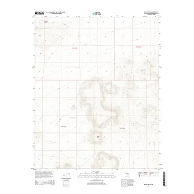
2015 Map of Black Hills
USGS Topo · Published 2015About this map
Black Hills rise sharply from the arid floor of the Mojave Desert in this portion of San Bernardino County. The landscape is defined by the high, ridged topography of the hills themselves, which dominate the central and southeastern portions of the map. To the northwest, Christmas Canyon cuts through the terrain, providing a natural corridor across the higher elevations. This 2015 U.S. Geological Survey representation reflects the modern topographical state of the region, meticulously documenting the Public Land Survey System grid with designations for t28s r43e, t28s r44e, t29s r43e, and t29s r44e. The map serves as a record of the undeveloped desert environment, capturing the specific contours and drainage patterns that characterize this segment of the California interior.
Find a feature on this map
7 named features on this map. Tap any name to fly to it.
Don’t see what you’re looking for? This feature index may not catch every label — zoom into the map to look around manually.
Map Details
Editions of this 2015 Black Hills Map
This is the sole edition of this map. No revisions or reprints were ever made.
Other maps of this area

1915 · Searles Lake
USGS Topo · 1:250,000

1947 · Trona
USGS Topo · 1:250,000

1948 · Trona
USGS Topo · 1:250,000

1949 · Searles Lake
USGS Topo · 1:62,500

1950 · Searles Lake
USGS Topo · 1:62,500

1950 · Wingate Pass
USGS Topo · 1:62,500

1951 · Wingate Pass
USGS Topo · 1:62,500

1953 · Trona
USGS Topo · 1:250,000

1954 · Pilot Knob
USGS Topo · 1:62,500

1954 · Cuddeback Lake
USGS Topo · 1:62,500