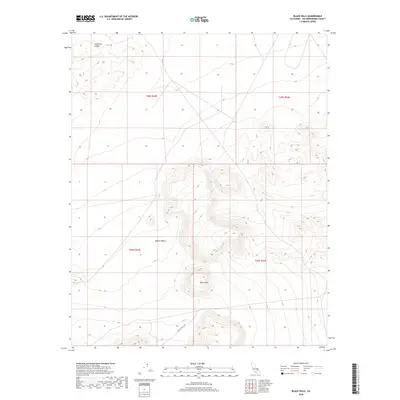
2018 Map of Black Hills
USGS Topo · Published 2018About this map
The Black Hills rise from the desert floor in this detailed 2018 survey of eastern California. Located within the vast expanse of the Mojave Desert, this quadrangle reveals a landscape defined by significant elevation changes and seasonal drainage patterns, most notably through Christmas Canyon in the northwest. The terrain is marked by the complex topography of the hills themselves, which dominate the central and southern portions of the sheet. Modern infrastructure is sparse, with Granit Wells Rd providing one of the few primary access points through the arid environment. This map captures the precise township and range boundaries that organize this part of San Bernardino County, including t28s r43e and t29s r44e, offering a clear view of the physical geography before further environmental or land-use changes occur.
Find a feature on this map
8 named features on this map. Tap any name to fly to it.
Don’t see what you’re looking for? This feature index may not catch every label — zoom into the map to look around manually.
Map Details
Editions of this 2018 Black Hills Map
This is the sole edition of this map. No revisions or reprints were ever made.
Other maps of this area

1915 · Searles Lake
USGS Topo · 1:250,000

1947 · Trona
USGS Topo · 1:250,000

1948 · Trona
USGS Topo · 1:250,000

1949 · Searles Lake
USGS Topo · 1:62,500

1950 · Searles Lake
USGS Topo · 1:62,500

1950 · Wingate Pass
USGS Topo · 1:62,500

1951 · Wingate Pass
USGS Topo · 1:62,500

1953 · Trona
USGS Topo · 1:250,000

1954 · Pilot Knob
USGS Topo · 1:62,500

1954 · Cuddeback Lake
USGS Topo · 1:62,500