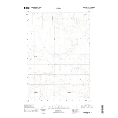
2017 Map of Black Horse Butte NE
USGS Topo · Published 2017About this map
The Grand River meanders across this expansive landscape in the Rock Creek District of Corson County, shaping the local topography with its intricate oxbows and floodplains. As of 2017, the area remains primarily open terrain, characterized by the drainage networks of Willow Cr in the north and Black Horse Butte Cr in the southeast. This survey illustrates the section-line road system typical of the Great Plains, featuring routes like Morristown Rd and Keldon Rd that navigate the township and range divisions. The sparse human footprint is limited to these essential thoroughfares and scattered structures, reflecting the enduring rural character of this northern South Dakota region where the river system continues to be the primary geographical influence.
Find a feature on this map
14 named features on this map. Tap any name to fly to it.
Don’t see what you’re looking for? This feature index may not catch every label — zoom into the map to look around manually.
Map Details
Editions of this 2017 Black Horse Butte NE Map
This is the sole edition of this map. No revisions or reprints were ever made.
Other maps of this area

1953 · McIntosh
USGS Topo · 1:250,000

1956 · Cottonwood Creek NW
USGS Topo · 1:24,000

1956 · Cottonwood Creek SW
USGS Topo · 1:24,000

1958 · McIntosh
USGS Topo · 1:250,000

1972 · Black Horse Butte NW
USGS Topo · 1:24,000

1972 · Black Horse Butte
USGS Topo · 1:24,000

1972 · Skull Butte
USGS Topo · 1:24,000

1972 · Thunder Hawk SW
USGS Topo · 1:24,000

1972 · Thunder Hawk SE
USGS Topo · 1:24,000

1972 · Twin Butte
USGS Topo · 1:24,000