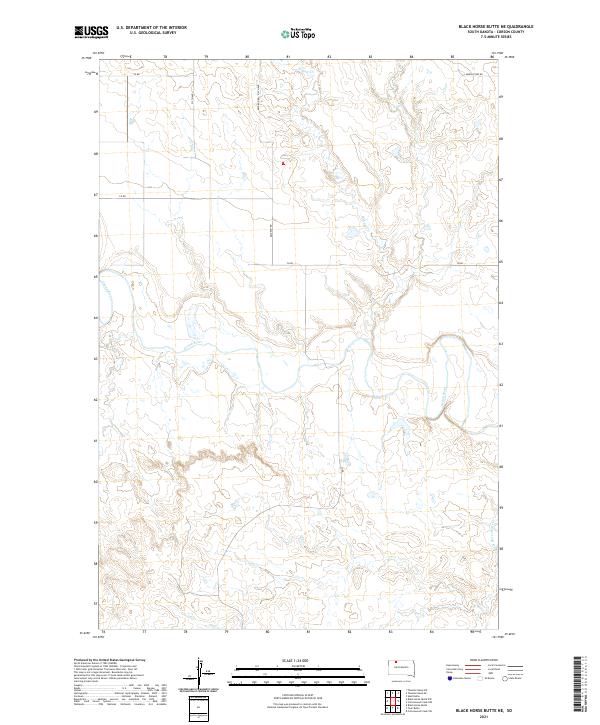
2021 Map of Black Horse Butte NE
USGS Topo · Published 2021About this map
The Grand River meanders across this rural Corson County landscape, carving a distinctive path through the prairie terrain of northern South Dakota. This 2021 survey documents the sparsely populated region just south of the North Dakota border, where the land is defined by a network of drainage systems including Willow Cr in the north and Black Horse Butte Cr in the southeastern corner. The map illustrates a traditional section-line road system characteristic of the Great Plains, featuring routes like Keldron Rd and 213th Ave. These corridors connect remote ranching lands and provide access across the rolling breaks and river valleys. For researchers, the map provides a contemporary record of land divisions and the hydrological features that have influenced settlement patterns in this part of the state for generations.
Find a feature on this map
14 named features on this map. Tap any name to fly to it.
Don’t see what you’re looking for? This feature index may not catch every label — zoom into the map to look around manually.
Map Details
Editions of this 2021 Black Horse Butte NE Map
This is the sole edition of this map. No revisions or reprints were ever made.
Other maps of this area

1953 · McIntosh
USGS Topo · 1:250,000

1956 · Cottonwood Creek NW
USGS Topo · 1:24,000

1956 · Cottonwood Creek SW
USGS Topo · 1:24,000

1958 · McIntosh
USGS Topo · 1:250,000

1972 · Black Horse Butte NW
USGS Topo · 1:24,000

1972 · Black Horse Butte
USGS Topo · 1:24,000

1972 · Skull Butte
USGS Topo · 1:24,000

1972 · Thunder Hawk SW
USGS Topo · 1:24,000

1972 · Thunder Hawk SE
USGS Topo · 1:24,000

1972 · Twin Butte
USGS Topo · 1:24,000