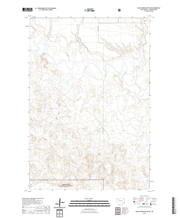
2021 Map of Black Horse Butte NW
USGS Topo · Published 2021About this map
The Grand River National Grassland dominates the southern reaches of this landscape in Corson County, South Dakota. This portion of the Great Plains is defined by the winding course of the Grand River, which meanders through the northern sections of the map, fed by several significant seasonal tributaries including Thunder Hawk Creek and Cottonwood Creek. The drainage patterns of Cyclone Creek and Deer Creek emphasize the intricate dissection of the prairie by water over time.
Find a feature on this map
15 named features on this map. Tap any name to fly to it.
Don’t see what you’re looking for? This feature index may not catch every label — zoom into the map to look around manually.
Map Details
Editions of this 2021 Black Horse Butte NW Map
This is the sole edition of this map. No revisions or reprints were ever made.
Other maps of this area

1953 · McIntosh
USGS Topo · 1:250,000

1954 · Lemmon
USGS Topo · 1:250,000

1957 · Lemmon
USGS Topo · 1:250,000

1958 · McIntosh
USGS Topo · 1:250,000

1972 · Black Horse Butte NW
USGS Topo · 1:24,000

1972 · Black Horse Butte
USGS Topo · 1:24,000

1972 · Thunder Hawk SW
USGS Topo · 1:24,000

1972 · Thunder Hawk SE
USGS Topo · 1:24,000

1972 · Twin Butte
USGS Topo · 1:24,000

1972 · Black Horse Butte NE
USGS Topo · 1:24,000