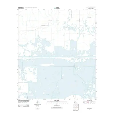
2012 Map of Black Lake
USGS Topo · Published 2012About this map
Black Lake dominates this coastal Louisiana landscape, where the marshy terrain of the Clear Marais meets an intensive network of industrial extraction. The area is defined by its water management and resource history, featuring the engineered Choupique Cutoff and the Bayou Choupique. The map documents a significant energy footprint with the Choupique Gas Field and the Bayou Choupique Oil and Gas Field marked across the northern sections, alongside operations by Amoco.
Find a feature on this map
19 named features on this map. Tap any name to fly to it.
Don’t see what you’re looking for? This feature index may not catch every label — zoom into the map to look around manually.
Map Details
Editions of this 2012 Black Lake Map
This is the sole edition of this map. No revisions or reprints were ever made.
Other maps of this area

1932 · Moss Lake
USGS Topo · 1:31,680

1932 · Orange
USGS Topo · 1:62,500

1934 · Browns Lake
USGS Topo · 1:24,000

1934 · Five Lakes
USGS Topo · 1:24,000

1935 · Five Lakes
USGS Topo · 1:31,680

1935 · Hackberry
USGS Topo · 1:31,680

1935 · Browns Lake
USGS Topo · 1:31,680

1946 · Moss Lake
USGS Topo · 1:31,680

1947 · Sulphur
USGS Topo · 1:31,680

1947 · Vinton
USGS Topo · 1:31,680