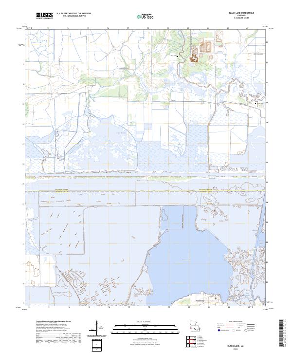
2024 Map of Black Lake
USGS Topo · Published 2024About this map
Black Lake dominates the southern portion of this landscape where the Calcasieu Parish and Cameron Parish line divides the wetlands. The settlement of Hackberry sits on the southern shore, serving as a focal point for the region's coastal identity. To the north, the Intracoastal Waterway cuts a distinct horizontal line across the map, separating the larger lake from northern marshlands like Clear Marais and Goose Lake. Local history is anchored by family-named landmarks including Moss Cem and Landry Cem, alongside a network of rural roads such as Choupique Rd and Ellis Moss Rd. The drainage patterns, defined by Alkali Ditch and Black Lake Bayou, illustrate the complex hydrology of this low-lying territory as it transitions toward the Gulf.
Find a feature on this map
22 named features on this map. Tap any name to fly to it.
Don’t see what you’re looking for? This feature index may not catch every label — zoom into the map to look around manually.
Map Details
Editions of this 2024 Black Lake Map
This is the sole edition of this map. No revisions or reprints were ever made.
Other maps of this area

1932 · Moss Lake
USGS Topo · 1:31,680

1932 · Orange
USGS Topo · 1:62,500

1934 · Browns Lake
USGS Topo · 1:24,000

1934 · Five Lakes
USGS Topo · 1:24,000

1935 · Five Lakes
USGS Topo · 1:31,680

1935 · Hackberry
USGS Topo · 1:31,680

1935 · Browns Lake
USGS Topo · 1:31,680

1946 · Moss Lake
USGS Topo · 1:31,680

1947 · Sulphur
USGS Topo · 1:31,680

1947 · Vinton
USGS Topo · 1:31,680