
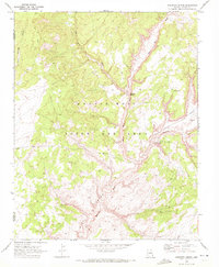
1970 Map of Black Mesa Wash NW
USGS Topo · Published 1972About this map
Klethla Valley and the Shonto Plateau define the high desert topography of this region during the early 1970s. The landscape is marked by the complex administration of the Navajo Hopi Joint Use Area, where federal and tribal boundaries intersect across an area of significant cultural and geographic importance. Life and travel in this arid environment are dictated by water sources and seasonal drainages, with several named springs providing critical points of interest, including Frank Isaac Spring, Pat Williams Spring, and Grey Spring.
Find a feature on this map
25 named features on this map. Tap any name to fly to it.
Don’t see what you’re looking for? This feature index may not catch every label — zoom into the map to look around manually.
Map Details
Editions of this 1970 Black Mesa Wash NW Map
This is the sole edition of this map. No revisions or reprints were ever made.
Other maps of this area

1883 · Marsh Pass
USGS Topo · 1:250,000

1892 · Marsh Pass
USGS Topo · 1:250,000

1956 · Marble Canyon
USGS Topo · 1:250,000

1959 · Marble Canyon
USGS Topo · 1:250,000

1961 · Marble Canyon
USGS Topo · 1:250,000

1970 · Cow Springs
USGS Topo · 1:24,000
1970 · Kydestea Spring
USGS Topo · 1:24,000

1970 · Whirlwind Rock
USGS Topo · 1:24,000

1970 · Shonto SE
USGS Topo · 1:24,000
1970 · John Daw Mesa
USGS Topo · 1:24,000