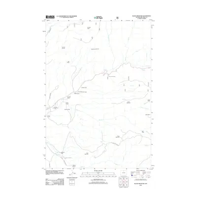
2012 Map of Black Mountain
USGS Topo · Published 2012About this map
Shell Canyon cuts through the center of this Big Horn County landscape, where the Iowa State University Geology Camp sits along the banks of Shell Cr. This 2012 survey illustrates a region defined by dramatic vertical relief, characterized by high plateaus like Sunlight Mesa and Table Mountain overlooking deeply etched drainages. The human footprint is sparse but specific, centered on locations like the Trapper Lodge Ranch and the Post Creek Picnic Area.
Find a feature on this map
41 named features on this map. Tap any name to fly to it.
Don’t see what you’re looking for? This feature index may not catch every label — zoom into the map to look around manually.
Map Details
Editions of this 2012 Black Mountain Map
This is the sole edition of this map. No revisions or reprints were ever made.
Other maps of this area

1898 · Bald Mountain
USGS Topo · 1:125,000

1901 · Bald Mountain
USGS Topo · 1:125,000

1955 · Sheridan
USGS Topo · 1:250,000

1958 · Sheridan
USGS Topo · 1:250,000

1960 · Shell Falls
USGS Topo · 1:24,000

1960 · White Sulphur Spring
USGS Topo · 1:24,000

1960 · Black Mountain
USGS Topo · 1:24,000

1960 · Granite Pass
USGS Topo · 1:24,000

1960 · Manderson NE
USGS Topo · 1:24,000

1960 · Hidden Tepee Creek
USGS Topo · 1:24,000