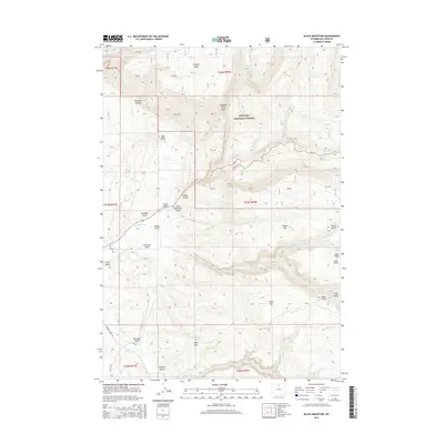
2015 Map of Black Mountain
USGS Topo · Published 2015About this map
Bighorn National Forest dominates this section of Big Horn County, characterized by a series of steep drainages and prominent peaks. The landscape is defined by its verticality, from the depths of Shell Canyon and Trapper Canyon to the summits of Black Mtn and Horse Mtn. Water management is evident through historic irrigation infrastructure like Kershner Ditch and Hatten Ditch, which redirect flow from the mountain creeks toward lower elevations. Notable geological landmarks such as Chimney Rock, Elephant Head Rock, and Red Butte provide specific orientation points within the complex terrain of Sunlight Mesa. This 2015 edition provides a modern look at the public land boundaries and forest service roads like Trapper Creek Rd that provide access through the region's gulches and along the winding Shell Cr.
Find a feature on this map
43 named features on this map. Tap any name to fly to it.
Don’t see what you’re looking for? This feature index may not catch every label — zoom into the map to look around manually.
Map Details
Editions of this 2015 Black Mountain Map
This is the sole edition of this map. No revisions or reprints were ever made.
Other maps of this area

1898 · Bald Mountain
USGS Topo · 1:125,000

1901 · Bald Mountain
USGS Topo · 1:125,000

1955 · Sheridan
USGS Topo · 1:250,000

1958 · Sheridan
USGS Topo · 1:250,000

1960 · Shell Falls
USGS Topo · 1:24,000

1960 · White Sulphur Spring
USGS Topo · 1:24,000

1960 · Black Mountain
USGS Topo · 1:24,000

1960 · Granite Pass
USGS Topo · 1:24,000

1960 · Manderson NE
USGS Topo · 1:24,000

1960 · Hidden Tepee Creek
USGS Topo · 1:24,000