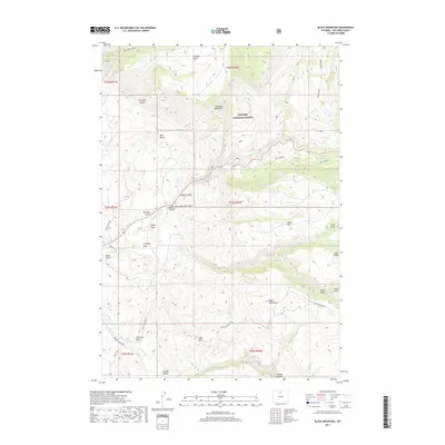
2017 Map of Black Mountain
USGS Topo · Published 2017About this map
Bighorn National Forest dominates this section of Big Horn County, where the landscape is defined by deep incisions like Sunlight Canyon and the massive Trapper Canyon to the south. The terrain is marked by distinctive formations such as Elephant Head Rock and Chimney Rock, which likely served as primary landmarks for early travelers and land surveyors. Water management for the high-altitude territory is visible through the engineering of the Hatten Ditch and Kershner Ditch, which redirect flow across the complex topography of Shell Bench. Broad plateaus like Sunlight Mesa and Table Mtn rise above the drainage systems of Shell Cr and White Cr, illustrating the typical high-desert and montane transitions of northern Wyoming. The network of secondary routes, including Black Mountain Rd and Beef, provides access to these isolated peaks and canyons.
Find a feature on this map
49 named features on this map. Tap any name to fly to it.
Don’t see what you’re looking for? This feature index may not catch every label — zoom into the map to look around manually.
Map Details
Editions of this 2017 Black Mountain Map
This is the sole edition of this map. No revisions or reprints were ever made.
Other maps of this area

1898 · Bald Mountain
USGS Topo · 1:125,000

1901 · Bald Mountain
USGS Topo · 1:125,000

1955 · Sheridan
USGS Topo · 1:250,000

1958 · Sheridan
USGS Topo · 1:250,000

1960 · Shell Falls
USGS Topo · 1:24,000

1960 · White Sulphur Spring
USGS Topo · 1:24,000

1960 · Black Mountain
USGS Topo · 1:24,000

1960 · Granite Pass
USGS Topo · 1:24,000

1960 · Manderson NE
USGS Topo · 1:24,000

1960 · Hidden Tepee Creek
USGS Topo · 1:24,000