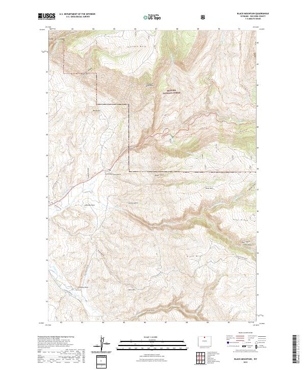
2021 Map of Black Mountain
USGS Topo · Published 2021About this map
Bighorn National Forest dominates this high-altitude landscape, where the Bighorn Mountains descend into complex canyons and mesas. The map reveals a land defined by water management and transit through steep terrain, highlighted by the presence of Kershner Ditch and Hatton Ditch winding along the lower elevations. Distinctive geological landmarks like Elephant Head Rock and Chimney Rock serve as natural beacons for navigation. The drainages of Shell Cr and White Cr have carved deep incisions such as Trapper Canyon, creating a vertical world where travel is largely restricted to established paths like the Beef Trl and Shell Bench Trl. This survey captures the rugged Wyoming backcountry as it remained in the early 21st century, a territory of public lands and scattered ranching infrastructure.
Find a feature on this map
47 named features on this map. Tap any name to fly to it.
Don’t see what you’re looking for? This feature index may not catch every label — zoom into the map to look around manually.
Map Details
Editions of this 2021 Black Mountain Map
This is the sole edition of this map. No revisions or reprints were ever made.
Other maps of this area

1898 · Bald Mountain
USGS Topo · 1:125,000

1901 · Bald Mountain
USGS Topo · 1:125,000

1955 · Sheridan
USGS Topo · 1:250,000

1958 · Sheridan
USGS Topo · 1:250,000

1960 · Shell Falls
USGS Topo · 1:24,000

1960 · White Sulphur Spring
USGS Topo · 1:24,000

1960 · Black Mountain
USGS Topo · 1:24,000

1960 · Granite Pass
USGS Topo · 1:24,000

1960 · Manderson NE
USGS Topo · 1:24,000

1960 · Hidden Tepee Creek
USGS Topo · 1:24,000