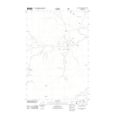
2011 Map of Black Mountain
USGS Topo · Published 2011About this map
Black Mountain and Colorado Mountain dominate the skyline of this Lewis and Clark County region as it appeared in 2011. The landscape is etched with the history of extraction, visible through numerous labeled claims such as the Stemwinder Mine, Silver Coin Mine, and Grunenfelder Mine. Waterways like Tenmile Creek and Blue Cloud Creek snake through the terrain, cutting deep through valleys like Colorado Gulch and Nelson Gulch.
Find a feature on this map
47 named features on this map. Tap any name to fly to it.
Don’t see what you’re looking for? This feature index may not catch every label — zoom into the map to look around manually.
Map Details
Editions of this 2011 Black Mountain Map
This is the sole edition of this map. No revisions or reprints were ever made.
Other maps of this area

1889 · Helena
USGS Topo · 1:250,000

1893 · Helena
USGS Topo · 1:250,000

1899 · Boulder
USGS Topo · 1:125,000

1899 · Helena
USGS Topo · 1:62,500

1899 · Helena
USGS Topo · 1:250,000

1903 · Helena
USGS Topo · 1:250,000

1947 · Butte
USGS Topo · 1:250,000

1950 · Jefferson City
USGS Topo · 1:62,500

1950 · Helena
USGS Topo · 1:62,500

1954 · Basin
USGS Topo · 1:62,500