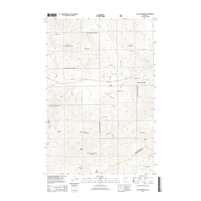
2014 Map of Black Mountain
USGS Topo · Published 2014About this map
Helena West Side occupies the eastern margin of this mountain landscape, where the urban edge meets the expansive drainage basins of the Helena National Forest. The topography is defined by significant elevations, including Black Mountain and Colorado Mtn, which overlook a network of gulches and creeks. Major watercourses such as Tenmile Cr, Blue Cloud Cr, and Sweeney Cr carve through the terrain, while Black Hall Meadows provides a distinct break in the mountain profile.
Find a feature on this map
49 named features on this map. Tap any name to fly to it.
Don’t see what you’re looking for? This feature index may not catch every label — zoom into the map to look around manually.
Map Details
Editions of this 2014 Black Mountain Map
This is the sole edition of this map. No revisions or reprints were ever made.
Other maps of this area

1889 · Helena
USGS Topo · 1:250,000

1893 · Helena
USGS Topo · 1:250,000

1899 · Boulder
USGS Topo · 1:125,000

1899 · Helena
USGS Topo · 1:62,500

1899 · Helena
USGS Topo · 1:250,000

1903 · Helena
USGS Topo · 1:250,000

1947 · Butte
USGS Topo · 1:250,000

1950 · Jefferson City
USGS Topo · 1:62,500

1950 · Helena
USGS Topo · 1:62,500

1954 · Basin
USGS Topo · 1:62,500