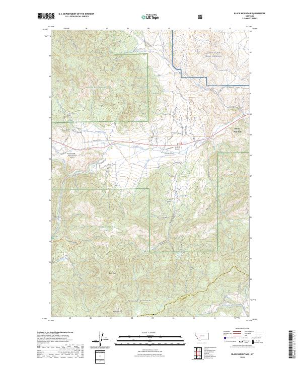
2024 Map of Black Mountain
USGS Topo · Published 2024About this map
NG MTA FT WM Henry Harrison dominates the northeastern corner of this Montana landscape, where the urban edge of Helena West Side meets the foothills of the Boulder Mountains. The terrain transitions from the developed corridors along Blue Cloud Rd and Priest Pass Rd into the high country of the Helena National Forest. Several small airfields, including Ten Mile Airport and Duncan Airport, are situated near Tenmile Creek, reflecting the importance of light aviation in the valley below the mountains.
Find a feature on this map
52 named features on this map. Tap any name to fly to it.
Don’t see what you’re looking for? This feature index may not catch every label — zoom into the map to look around manually.
Map Details
Editions of this 2024 Black Mountain Map
This is the sole edition of this map. No revisions or reprints were ever made.
Other maps of this area

1889 · Helena
USGS Topo · 1:250,000

1893 · Helena
USGS Topo · 1:250,000

1899 · Boulder
USGS Topo · 1:125,000

1899 · Helena
USGS Topo · 1:62,500

1899 · Helena
USGS Topo · 1:250,000

1903 · Helena
USGS Topo · 1:250,000

1947 · Butte
USGS Topo · 1:250,000

1950 · Jefferson City
USGS Topo · 1:62,500

1950 · Helena
USGS Topo · 1:62,500

1954 · Basin
USGS Topo · 1:62,500